
No products in the cart.: $0.00

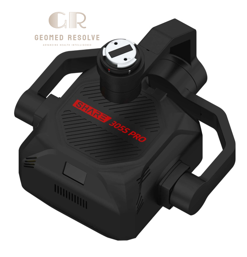
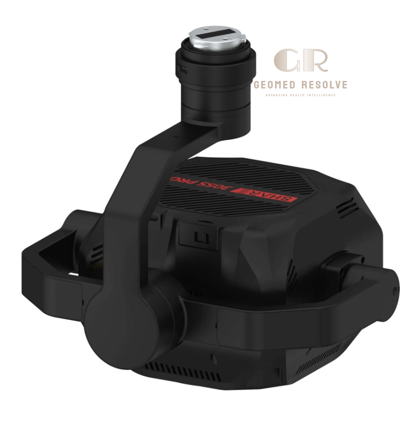
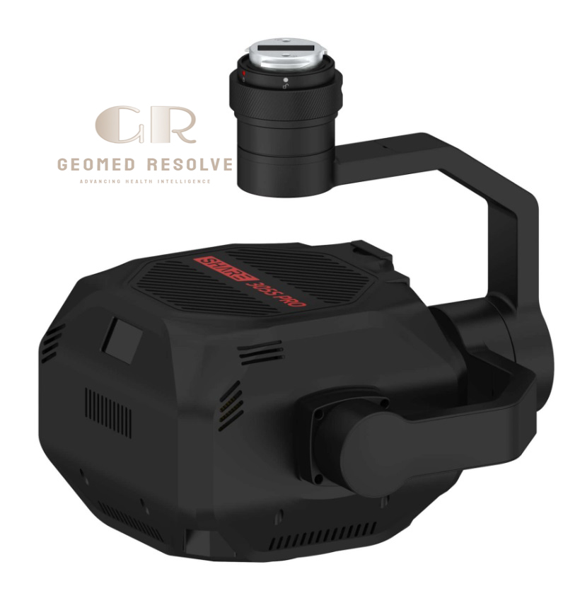
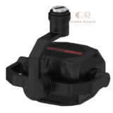
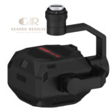
SHARE 305S PRO 5-Sensor Oblique Aerial Camera
The SHARE 305S PRO 5-Sensor Oblique Aerial Camera is a high-end UAV mapping camera system designed for professional photogrammetry, 3D city modeling, and large-scale geospatial surveying. It features a 305MP total resolution across five full-frame sensors, enabling ultra-detailed aerial data capture for digital twin and GIS applications.
Built for integration with industrial UAV platforms, this oblique camera system delivers high-accuracy imaging, efficient flight coverage, and synchronized multi-angle capture for advanced mapping workflows.
📦 Secure checkout
📦 Secure checkout
✅️SATISFACTION GUARANTEED
✅️FREE SHIPPING ON ORDER OVER $100
✅️SECURE PAYMENTS
✅️MONEY BACK 30 DAYS GUARANTEE
✅️EASY RETURNS

✈️ FAST AND FREE DELIVERY
✈️ FAST AND FREE DELIVERY
🎧 24/7 CUSTOMER SUPPORT
🎧 24/7 CUSTOMER SUPPORT
Description
SHARE 305S PRO 5-Sensor Oblique Aerial Camera – 305MP Full-Frame UAV Mapping System for 3D City Modeling & Photogrammetry
The SHARE 305S PRO 5-Sensor Oblique Aerial Camera is an advanced UAV mapping and photogrammetry system designed for professional geospatial data collection and 3D city modeling. Featuring a 305MP multi-sensor configuration, it captures ultra-detailed imagery from multiple angles simultaneously, enabling accurate reconstruction of complex environments.
Engineered for industrial drone integration, the system supports high-efficiency aerial surveying with synchronized imaging, high-speed data storage, and precise time alignment. This makes it ideal for large-scale mapping projects where accuracy and efficiency are critical.
The SHARE 305S PRO is a powerful solution for GIS professionals, surveying companies, and engineering teams requiring high-resolution aerial data for digital twin creation, infrastructure planning, and smart city development.
Main Benefits
Ultra-High 305MP Imaging Power
Captures extremely detailed aerial imagery for precise 3D reconstruction and mapping projects.
Five-Sensor Oblique Coverage
Provides multi-angle imaging (nadir + oblique views) for complete city and terrain modeling.
Professional Photogrammetry Accuracy
Designed for GIS-grade mapping, digital twin creation, and engineering surveys.
High Efficiency Large-Area Coverage
Reduces flight time by capturing wide, high-density image data in a single mission.
Industrial UAV Integration
Built for professional drone platforms used in surveying and geospatial industries.
Key Features
5 Full-Frame Camera System
Uses five synchronized full-frame sensors for simultaneous multi-angle capture.
305MP Total Resolution Output
Each lens contributes high-resolution imagery for detailed reconstruction workflows.
Oblique + Nadir Imaging Design
Captures both vertical and angled perspectives for realistic 3D city modeling.
High-Speed Data Storage System
Supports fast SSD storage and rapid data transfer for large survey datasets.
Real-Time Multi-Channel Monitoring
Allows live viewing of multiple camera angles during UAV operation.
Precision Time Synchronization
Ensures accurate image alignment for high-quality photogrammetry output.
Rugged Aerospace-Grade Housing
Built with durable materials for stability during industrial drone missions.
Specifications
Product Type: UAV Oblique Aerial Camera
Technology: 5-Sensor Full-Frame Photogrammetry System
Category: 3D Scanners
Subcategory: Aerial Photogrammetry & UAV Mapping Cameras
Total Resolution: 305MP (5 × full-frame sensors)
Sensor Size: 36 × 24 mm full-frame
Pixel Size: 3.76 μm
Imaging Mode: Oblique + nadir multi-angle capture
Lens Configuration: 5-sensor synchronized system
Data Storage: High-speed SSD module (industrial-grade)
Data Interface: USB-C / high-speed data transfer
UAV Compatibility: Professional mapping drones (industrial platforms)
Output: High-resolution geospatial imagery & 3D datasets
Usage Environment: UAV surveying, GIS mapping, digital twin production
Applications
3D City Modeling
Creates highly detailed urban digital twins for planning and simulation.
Topographic Surveying
Captures large terrain areas for mapping and elevation modeling.
GIS & Geospatial Analysis
Provides high-resolution data for geographic information systems.
Infrastructure Inspection
Used for bridges, roads, and large infrastructure documentation.
Smart City Development
Supports planning, monitoring, and urban development projects.
Construction Mapping
Tracks construction progress with accurate aerial data.
What is the SHARE 305S PRO used for?
It is used for aerial mapping, 3D city modeling, and professional photogrammetry surveys.
What makes it a 5-sensor camera system?
It uses five synchronized full-frame cameras to capture multiple viewing angles simultaneously.
Is it suitable for UAV drones?
Yes. It is designed for professional UAV platforms used in surveying and mapping.
What resolution does it provide?
It delivers a total of 305MP across all sensors.
What industries use this system?
It is used in GIS mapping, construction, urban planning, and geospatial engineering.
Can it create 3D models?
Yes. It is specifically designed for high-accuracy 3D reconstruction and digital twin creation.


There are no reviews yet.