
No products in the cart.: $0.00

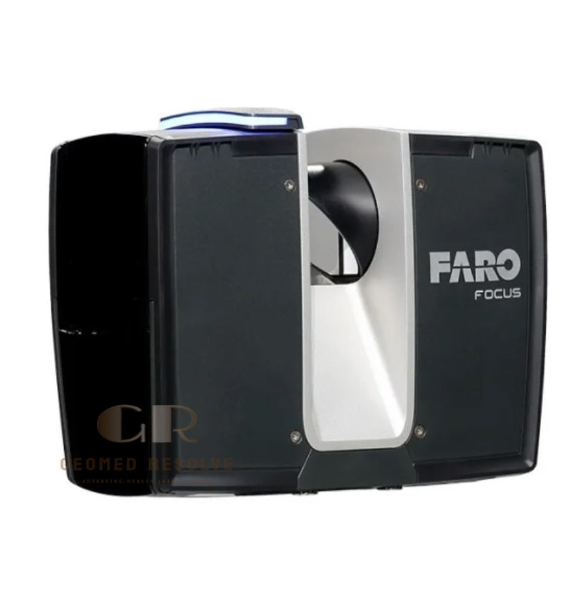
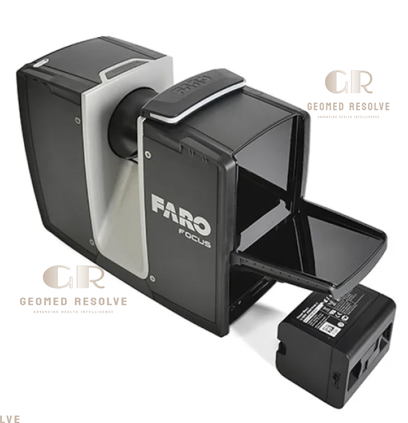
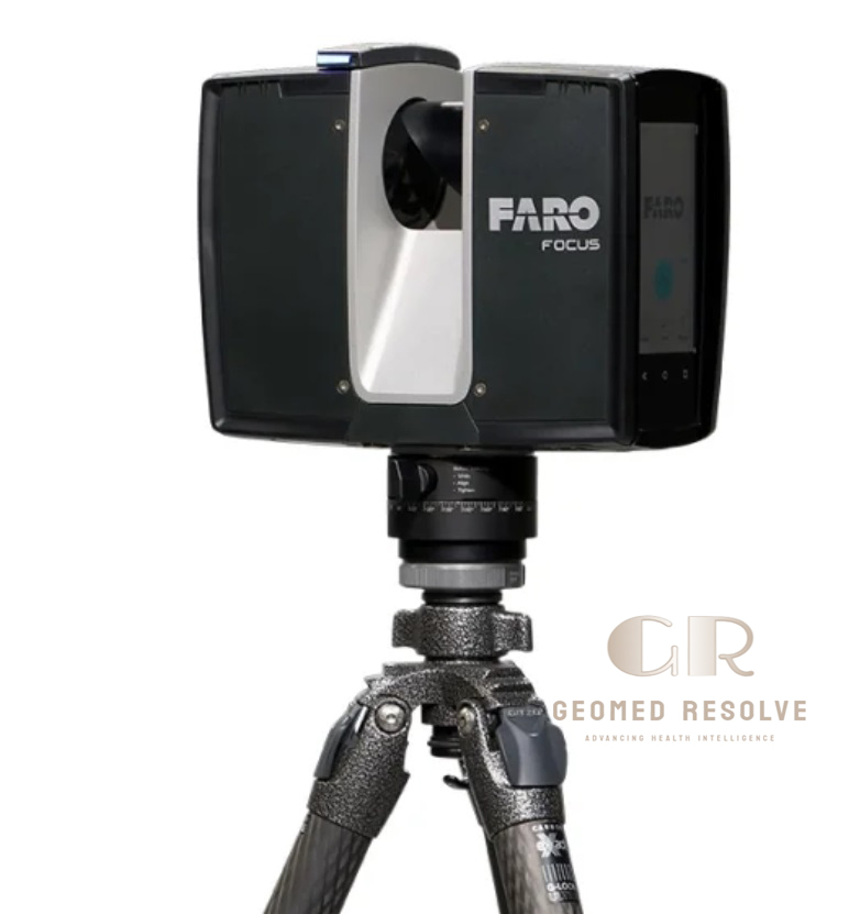
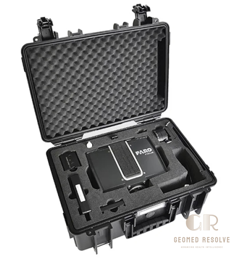
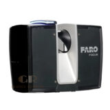
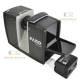
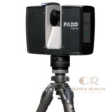
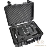
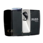
FARO Focus Premium 350 Laser Scanner
The FARO Focus Premium 350 Laser Scanner is a professional-grade terrestrial 3D laser scanning system designed for high-accuracy reality capture, surveying, construction documentation, and industrial inspection. It delivers long-range scanning up to 350 meters, enabling fast and detailed 3D data acquisition of buildings, infrastructure, and large environments.
Built for demanding field conditions, the Focus Premium 350 combines high-speed point cloud capture, HDR imaging, and intuitive workflow integration for efficient and precise 3D documentation.
📦 Secure checkout
📦 Secure checkout
✅️SATISFACTION GUARANTEED
✅️FREE SHIPPING ON ORDER OVER $100
✅️SECURE PAYMENTS
✅️MONEY BACK 30 DAYS GUARANTEE
✅️EASY RETURNS

✈️ FAST AND FREE DELIVERY
✈️ FAST AND FREE DELIVERY
🎧 24/7 CUSTOMER SUPPORT
🎧 24/7 CUSTOMER SUPPORT
Description
FARO Focus Premium 350 Laser Scanner – High-Speed Terrestrial 3D Laser Scanning System for Surveying, Construction & Industrial Reality Capture
The FARO Focus Premium 350 Laser Scanner is an advanced terrestrial laser scanning system designed for high-precision 3D reality capture in surveying, construction, and industrial environments. It provides long-range scanning up to 350 meters, enabling fast and accurate documentation of large-scale structures and complex sites.
With high-speed point cloud acquisition, integrated HDR imaging, and real-time quality verification, the Focus Premium 350 improves workflow efficiency while maintaining metrology-grade accuracy. Its rugged design ensures reliable performance in demanding outdoor and industrial conditions.
The FARO Focus Premium 350 Laser Scanner is a trusted solution for professionals who require fast, accurate, and detailed 3D documentation for infrastructure, engineering, and geospatial applications.
Main Benefits
Long-Range High-Accuracy Scanning
Captures detailed 3D data up to 350 meters for large-scale environments.
Fast Reality Capture Workflow
Reduces field time with high-speed scanning and efficient data acquisition.
High-Quality HDR Imaging
Combines color imagery with point cloud data for realistic 3D models.
Reliable Field Performance
Designed for outdoor and indoor use in challenging environments.
Efficient Data Integration
Seamlessly integrates with industry-standard 3D processing software.
Key Features
Phase-Based Laser Scanning Technology
Provides fast and accurate point cloud generation for complex environments.
Up to 350 m Measurement Range
Ideal for large infrastructure, construction sites, and industrial plants.
High-Speed Point Capture
Delivers rapid scanning performance for efficient field operations.
Integrated HDR Imaging System
Captures high-resolution panoramic images alongside 3D data.
On-Site Preview & Quality Check
Allows real-time verification of scan quality during fieldwork.
Dual-Axis Compensation System
Improves accuracy by correcting tilt and leveling errors.
Rugged Outdoor-Ready Design
Built for harsh environments, including dust, rain, and temperature variations.
Specifications
Product Type: Terrestrial Laser Scanner (TLS)
Technology: Phase-based 3D Laser Scanning
Category: 3D Scanners
Subcategory: Terrestrial Laser Scanners (TLS)
Measurement Range: Up to 0.6 m – 350 m
Scan Speed: Up to ~1,000,000+ points/sec (variant dependent)
Accuracy: Sub-millimeter to millimeter-level (distance dependent)
Imaging: Integrated HDR panoramic camera
Leveling System: Dual-axis compensator
Data Storage: Internal memory / SD card
Connectivity: Wi-Fi / USB / Ethernet
Protection Rating: IP54 (dust & splash resistant)
Operating Temperature: Extended outdoor working range
Usage Environment: Construction sites, surveying, infrastructure, industrial plants
Applications
Construction & BIM Documentation
Creates accurate 3D models of buildings and construction progress.
Topographic Surveying
Used for terrain mapping and land measurement.
Infrastructure Inspection
Captures bridges, roads, tunnels, and utilities in high detail.
Industrial Plant Documentation
Used for oil & gas, power plants, and manufacturing facilities.
Heritage & Cultural Preservation
Records historical sites for digital archiving.
Accident & Forensic Mapping
Provides precise scene reconstruction for investigation purposes.
What is the FARO Focus Premium 350 used for?
It is used for high-precision 3D laser scanning of buildings, infrastructure, and industrial environments.
How far can it scan?
It can measure distances up to 350 meters depending on surface reflectivity.
Is it suitable for outdoor scanning?
Yes. It is designed for both indoor and outdoor environments with rugged protection.
What industries use this scanner?
It is widely used in construction, surveying, engineering, and industrial inspection.
Does it capture color information?
Yes. It includes HDR imaging for colorized point cloud generation.
Is it portable?
Yes. It is a tripod-mounted, field-portable terrestrial laser scanner.


There are no reviews yet.