No products in the cart.: $0.00

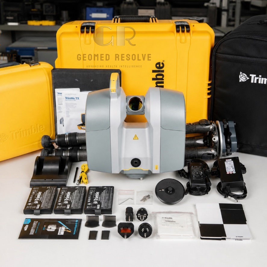
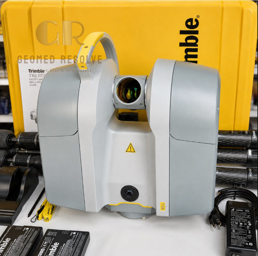
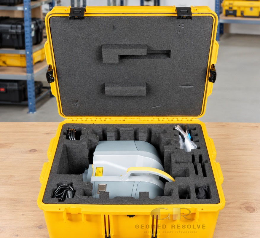
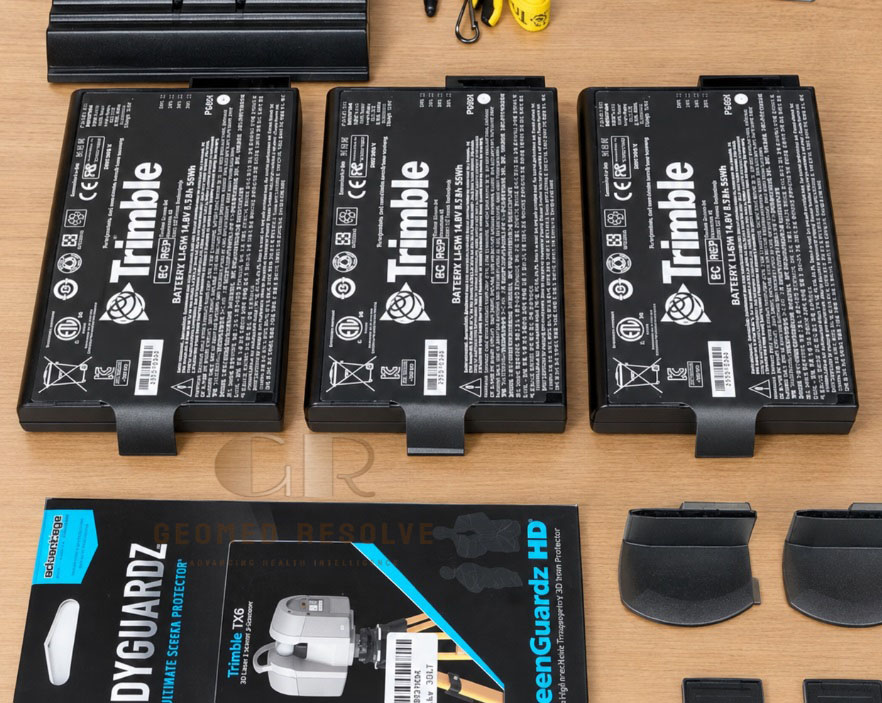
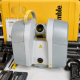
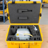
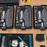
Trimble TX6 3D Laser Scanner
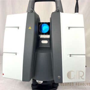
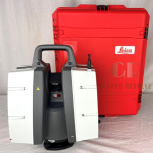
The Trimble TX6 3D Laser Scanner with tripod is a professional reality-capture solution for collecting accurate 3D point clouds across construction, surveying, engineering, and industrial applications. With high-speed scanning, a wide field of view, integrated HDR imaging, and stable tripod-based operation, it supports detailed as-built documentation and 3D modeling workflows.
Description
Trimble TX6 3D Laser Scanner with Tripod – High-Speed Terrestrial LiDAR Scanning System
The Trimble TX6 3D Laser Scanner is a professional terrestrial laser scanning system designed to capture detailed three-dimensional measurements for surveying, construction, engineering, infrastructure, and reality-capture projects. It uses high-speed time-of-flight scanning technology to collect dense point clouds and supports efficient documentation of existing conditions.
This package includes a tripod, providing a stable setup for field scanning and repeatable measurement positions. The TX6 features a 360° horizontal field of view, a 317° vertical field of view, integrated HDR imaging, Wi-Fi remote control, and compatibility with Trimble scanning and point-cloud processing workflows.
Main Benefits
Captures detailed 3D point-cloud data for accurate documentation.
Supports indoor and outdoor scanning workflows.
Reduces manual measurement time on complex sites.
Helps create as-built records and 3D models.
Integrated imaging supports point-cloud colorization and visual documentation.
Tripod provides stable positioning during scanning.
Suitable for construction, surveying, engineering, and industrial documentation.
Key Features
High-speed terrestrial 3D laser scanning.
Scanning speed of up to 500,000 points per second.
Standard scanning range of up to 80 m, with an optional range upgrade to 120 m.
360° horizontal and 317° vertical field of view.
Integrated 10-megapixel HDR camera.
Wi-Fi remote operation using a compatible tablet or mobile device.
4.3-inch color touchscreen with 800 × 480 resolution.
Dual-axis compensation and electronic leveling support.
Class 1 eye-safe laser.
IP54 protection for field use.
Compatible with Trimble point-cloud processing and modeling workflows.
Key Specifications
Product: Trimble TX6 3D Laser Scanner
Version: TX 2017-00 (2028), as stated in the product listing
Scanning technology: Time-of-flight laser scanning
Scanning speed: Up to 500,000 points per second
Maximum standard range: 80 m
Optional extended range: 120 m
Field of view: 360° horizontal × 317° vertical
Range noise: Less than 2 mm under specified conditions
Angular accuracy: 80 µrad
Laser classification: Class 1, eye safe
Laser wavelength: Approximately 1.5 µm
Minimum range: 0.6 m
Integrated camera: 10-megapixel HDR camera
Display: 4.3-inch color touchscreen
Display resolution: 800 × 480 pixels
Protection rating: IP54
Operating temperature: 0°C to +40°C
Storage temperature: −20°C to +50°C
Scanner dimensions: Approximately 335 × 386 × 242 mm, depending on configuration
Weight: Approximately 10.7–11.2 kg with tribrach, depending on battery configuration
Included accessory: Tripod
Remote control: Wi-Fi and compatible computer or tablet connection
Data storage: USB 3.0 flash drive or connected data workflow
Applications
Building documentation and as-built surveys.
Construction progress monitoring.
Architectural and engineering surveys.
Industrial facility documentation.
Infrastructure and transportation projects.
Plant and factory layout capture.
BIM and 3D model creation.
Renovation and retrofit planning.
Tunnel, bridge, and structural documentation.
Topographic and geospatial surveying.
Point-cloud generation for CAD and design software.
Typical Users
Land surveyors.
Civil engineers.
Construction companies.
BIM and reality-capture specialists.
Architects and building consultants.
Industrial measurement teams.
Infrastructure operators.
Plant engineering departments.
3D modeling and CAD service providers.
What is the Trimble TX6 used for?
The Trimble TX6 is used for terrestrial 3D laser scanning, as-built documentation, surveying, construction measurement, infrastructure capture, and point-cloud-based modeling.
What is the scanning range of the TX6?
The standard scanning range is up to 80 meters. An optional upgrade can extend the range to 120 meters on suitable surfaces.
Does the package include a tripod?
Yes. This product listing specifies that a tripod is included. Buyers should confirm the exact tripod model and any additional accessories supplied with the unit.
Can the TX6 be used outdoors?
Yes. The scanner is designed for indoor and outdoor scanning and has an IP54 protection rating. Operating conditions, weather, surface reflectivity, and environmental conditions should be considered before use.
Does the TX6 include an integrated camera?
Yes. The TX6 includes an integrated 10-megapixel HDR camera for capturing imagery alongside scan data.
What software can be used with the Trimble TX6?
The TX6 is designed for Trimble scanning workflows, including point-cloud processing and modeling applications such as Trimble RealWorks. Compatibility should be confirmed based on the installed scanner firmware and available software version.