No products in the cart.: $0.00

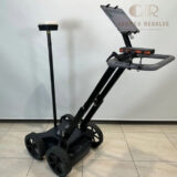
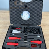
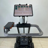
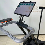
Proceq GS8000 with GPS
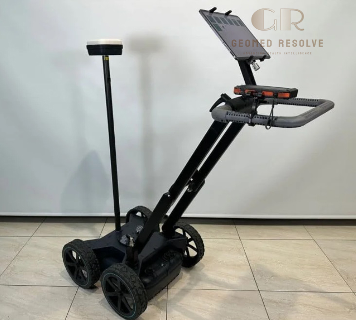
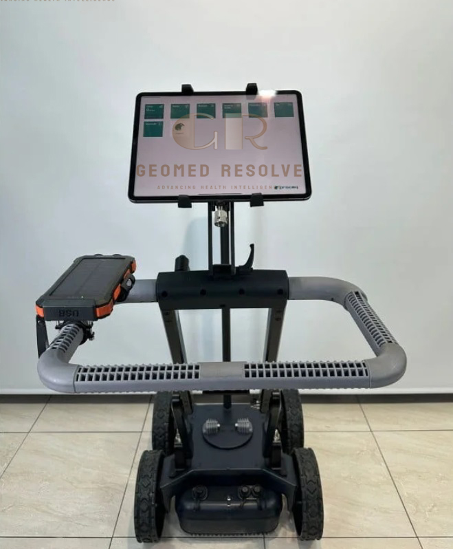
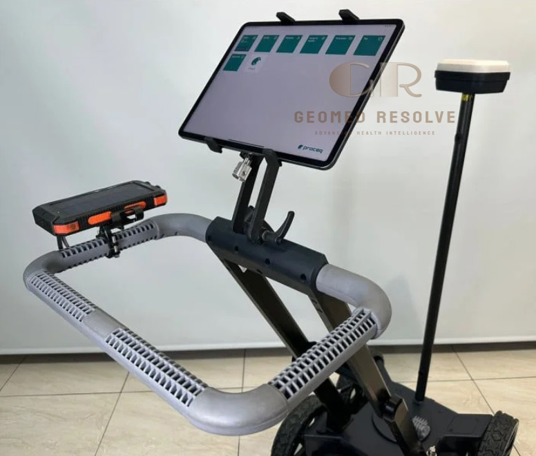
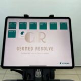
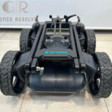
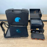
The Screening Eagle Proceq GS8000 with GPS is a premium Surveying Equipment solution designed for advanced underground utility detection, subsurface mapping, geophysical investigations, and infrastructure assessment. Utilizing innovative Stepped-Frequency Continuous-Wave (SFCW) Ground Penetrating Radar (GPR) technology and an integrated multi-band GNSS receiver, the GS8000 delivers exceptional imaging resolution, deep penetration, and highly accurate georeferenced survey data. Its lightweight, rugged design and cloud-connected workflow make it ideal for utility locating, civil engineering, transportation, environmental, and archaeological applications.
📦 Secure checkout
📦 Secure checkout
✅️SATISFACTION GUARANTEED
✅️FREE SHIPPING ON ORDER OVER $100
✅️SECURE PAYMENTS
✅️MONEY BACK 30 DAYS GUARANTEE
✅️EASY RETURNS

✈️ FAST AND FREE DELIVERY
✈️ FAST AND FREE DELIVERY
🎧 24/7 CUSTOMER SUPPORT
🎧 24/7 CUSTOMER SUPPORT
Description
Screening Eagle Proceq GS8000 with GPS – Ground Penetrating Radar System for Underground Utility Detection
The Screening Eagle Proceq GS8000 with GPS is a next-generation Surveying Equipment solution engineered for professional underground utility detection and high-resolution subsurface imaging. By combining Stepped-Frequency Continuous-Wave (SFCW) Ground Penetrating Radar with an integrated multi-band GNSS receiver, the system delivers exceptional imaging quality, precise positioning, and efficient data collection for utility locating, infrastructure inspection, and geophysical investigations.
Featuring a wide 40–3440 MHz frequency range, real-time visualization, cloud-based collaboration through Screening Eagle Workspace, RTK-compatible GNSS positioning, and compatibility with Apple iPad devices, the GS8000 enables professionals to perform fast, accurate, and highly productive field surveys. Its rugged IP65-rated construction, intuitive software, and advanced imaging capabilities make it an excellent solution for utility mapping, civil engineering, transportation infrastructure, environmental studies, and archaeological exploration.
The Screening Eagle Proceq GS8000 with GPS is an ideal choice for surveyors, utility locating specialists, engineering firms, municipalities, construction contractors, and infrastructure professionals seeking a high-performance GPR system for accurate underground mapping and asset detection.
Main Benefits
Advanced SFCW GPR Technology
Provides high-resolution underground imaging with excellent depth penetration using stepped-frequency continuous-wave radar.
High-Accuracy GPS Positioning
Integrated multi-band GNSS supports GPS, GLONASS, Galileo, and BeiDou with RTK compatibility for precise georeferenced surveys.
Detects Metallic & Non-Metallic Utilities
Locates buried pipes, electrical cables, fiber optics, conduits, sewer systems, and underground structures.
Fast Large-Area Surveys
Supports survey speeds up to 80 km/h, improving productivity on large infrastructure projects.
Cloud-Based Workflow
Integrates with Screening Eagle Workspace for real-time data synchronization, processing, and reporting.
Rugged Field Performance
Designed for demanding outdoor environments with an IP65-rated enclosure.
Key Features
Stepped-Frequency Continuous-Wave GPR
Wide frequency range from 40 MHz to 3440 MHz provides excellent shallow and deep target detection.
Integrated Multi-Band GNSS Receiver
Supports:
GPS
GLONASS
Galileo
BeiDou
with SSR augmentation and RTK compatibility.
High-Speed Data Collection
Scan Rate: 500 Hz
Spatial Resolution: Up to 100 scans/m
Survey Speed: Up to 80 km/h
Multiple Survey Modes
Supports:
Line Scan
Grid Scan
Free Path Survey
Advanced Visualization
Provides:
A-Scan
Line Scan
Migrated Line Scan
Time Slice View
Map View
Augmented Reality Visualization
Cloud Connectivity
Compatible with Screening Eagle Workspace for cloud storage, collaboration, and instant reporting.
iPad Operation
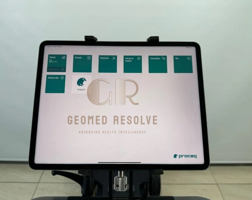
Operates with compatible Apple iPad or iPad Pro devices for intuitive field control.
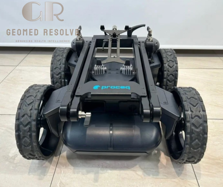
Rugged Industrial Design
Designed for reliable operation in construction sites and harsh outdoor environments.
Specifications
Product Type: Ground Penetrating Radar System
Category: Surveying Equipment
Subcategory: Ground Penetrating Radar (GPR) Systems
Manufacturer: Screening Eagle Technologies
Model: Proceq GS8000 with GPS
Radar Technology
Stepped-Frequency Continuous-Wave (SFCW) GPR
Frequency Range
40–3440 MHz
Effective Bandwidth
3200 MHz
Scan Rate
500 Hz
Spatial Resolution
Up to 100 scans/m
Survey Speed
Up to 80 km/h
Minimum Detectable Target
Approximately 1 cm
GNSS Receiver
Multi-band GPS
GLONASS
Galileo
BeiDou
RTK Compatible
SSR Augmentation
GNSS Accuracy
Typical 1–5 cm (RTK/SSR dependent)
Protection Rating
IP65
Connectivity
Wi-Fi
Ethernet
USB-A
USB-B
USB-C
Display Device
Compatible Apple iPad / iPad Pro
Applications
Underground Utility Detection
Utility Mapping
Road Inspection
Concrete Inspection
Infrastructure Assessment
Geophysical Survey
Recommended Industries
Surveying
Civil Engineering
Construction
Utility Mapping
Transportation
Environmental Consulting
Archaeology
Applications
Underground Utility Detection
Locates buried electrical cables, gas pipelines, water pipes, telecommunications conduits, and sewer systems.
Utility Mapping
Creates highly accurate underground utility maps before excavation.
Road & Highway Inspection
Evaluates pavement layers and buried infrastructure.
Civil Engineering
Supports infrastructure planning, construction, and maintenance projects.
Concrete & Structural Investigation
Detects embedded objects and evaluates reinforced concrete structures.
Archaeological Survey
Identifies buried structures and historical features without excavation.
Environmental Assessment
Maps subsurface conditions for environmental and geotechnical investigations.
What is the Proceq GS8000 with GPS?
The Proceq GS8000 is an advanced Ground Penetrating Radar (GPR) system with integrated multi-band GNSS designed for underground utility detection and subsurface mapping.
What radar technology does it use?
It uses Stepped-Frequency Continuous-Wave (SFCW) GPR technology with a frequency range of 40–3440 MHz.
Which satellite systems are supported?
The integrated GNSS receiver supports GPS, GLONASS, Galileo, and BeiDou, with RTK and SSR positioning capabilities.
What utilities can the GS8000 detect?
It detects metallic and non-metallic utilities including water pipes, gas lines, electrical cables, fiber optic cables, conduits, and underground storage structures.
Is the GS8000 suitable for large survey areas?
Yes. With acquisition speeds up to 80 km/h and cloud-based processing, it is ideal for large-scale infrastructure and transportation projects.
Which industries commonly use the GS8000?
It is widely used by surveyors, civil engineers, utility locating companies, transportation agencies, environmental consultants, and infrastructure contractors.