No products in the cart.: $0.00

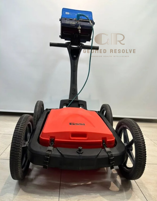
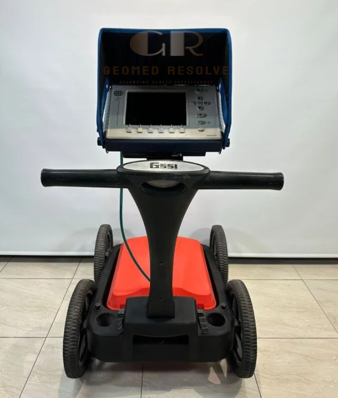
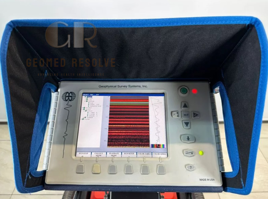
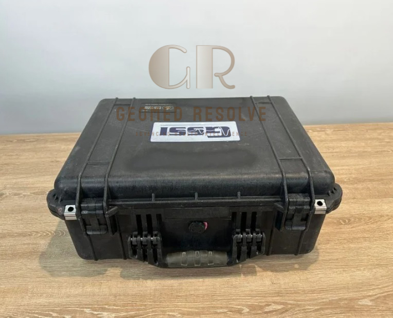
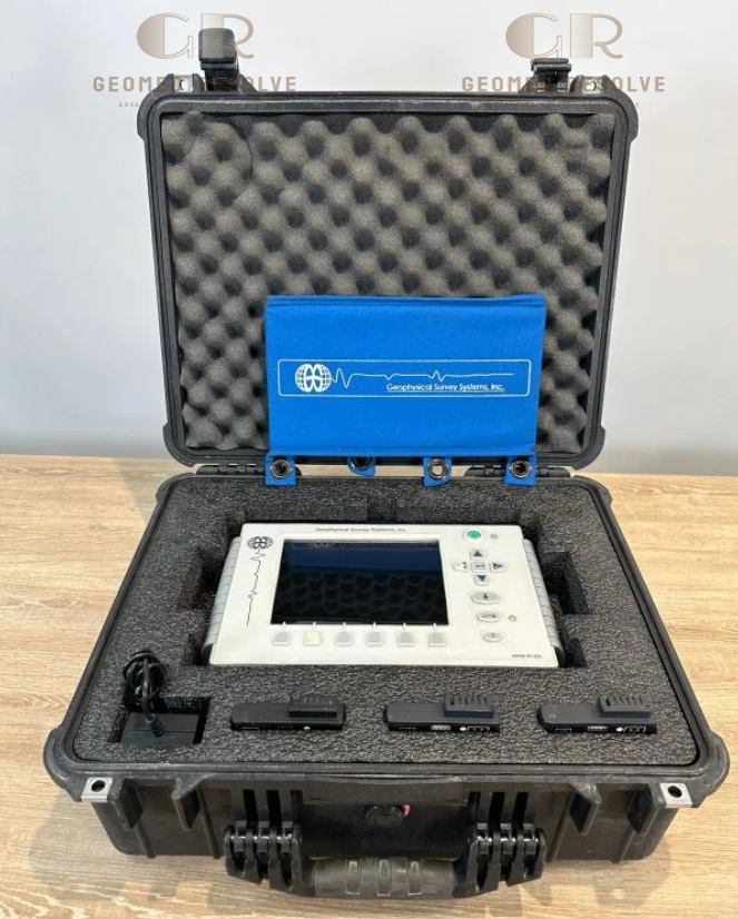
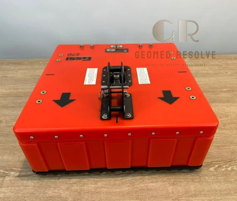
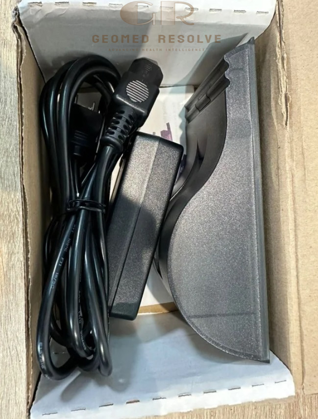
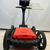
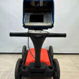
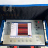
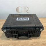
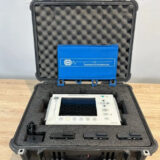
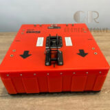
GSSI SIR 3000 with 270 MHz Antenna
The GSSI SIR 3000 with 270 MHz Antenna is a professional Surveying Equipment solution designed for underground utility detection, subsurface mapping, geotechnical investigations, and environmental surveys. Equipped with the 270 MHz shielded ground-coupled antenna, the system provides an excellent balance between penetration depth and target resolution, making it ideal for locating buried utilities, pipelines, cables, drainage systems, and underground structures. Its rugged portable design, intuitive controls, and compatibility with GSSI data processing software make it a trusted Ground Penetrating Radar (GPR) solution for construction, civil engineering, utility locating, and infrastructure inspection
📦 Secure checkout
📦 Secure checkout
✅️SATISFACTION GUARANTEED
✅️FREE SHIPPING ON ORDER OVER $100
✅️SECURE PAYMENTS
✅️MONEY BACK 30 DAYS GUARANTEE
✅️EASY RETURNS

✈️ FAST AND FREE DELIVERY
✈️ FAST AND FREE DELIVERY
🎧 24/7 CUSTOMER SUPPORT
🎧 24/7 CUSTOMER SUPPORT
Description
GSSI SIR 3000 with 270 MHz Antenna – Ground Penetrating Radar System for Underground Utility Detection
The GSSI SIR 3000 with 270 MHz Antenna is a proven Surveying Equipment solution designed for reliable underground utility detection and subsurface investigations. Combining the portable SIR 3000 control unit with the 270 MHz shielded antenna, the system delivers an excellent balance of penetration depth and target resolution, enabling accurate detection of buried utilities, pipelines, cables, drainage systems, and underground structures. Its intuitive operation and rugged construction make it a dependable choice for demanding field applications.
With high-speed data acquisition, 16-bit signal resolution, GPS compatibility, and support for GSSI processing software, the SIR 3000 provides efficient workflows for utility mapping, geotechnical investigations, environmental assessments, and infrastructure inspections. The 270 MHz antenna is especially well suited for medium-depth utility detection where both depth penetration and image clarity are critical.
The GSSI SIR 3000 with 270 MHz Antenna is an excellent solution for surveyors, civil engineers, construction companies, utility locating specialists, municipalities, and environmental professionals seeking a reliable and high-performance ground penetrating radar system for accurate underground mapping.
Main Benefits
Optimized Underground Utility Detection
The 270 MHz antenna offers an ideal combination of penetration depth and target resolution for utility locating.
Accurate Subsurface Imaging
Produces clear underground profiles for locating metallic and non-metallic buried objects.
Portable Field Operation
Compact controller and antenna design allow efficient transportation and field deployment.
Reliable Utility Mapping
Helps reduce excavation risks by accurately locating underground infrastructure before construction.
Rugged Industrial Performance
Designed for demanding outdoor environments and continuous field operation.
Versatile Survey Applications
Suitable for utility detection, environmental investigations, geological surveys, and infrastructure assessment.
Key Features
SIR 3000 GPR Controller
Professional ground penetrating radar controller designed for field surveys and subsurface investigations.
270 MHz Shielded Antenna
Provides an excellent balance between depth penetration and image resolution for utility mapping.
Investigation Depth
Capable of investigating to approximately 4–6 meters, depending on soil conditions and target characteristics.
High-Speed Data Acquisition
Supports scan rates up to 120 scans per second for efficient field surveys.
Large Color Display
8.4-inch daylight-readable color TFT display with intuitive controls for easy operation.
GPS Compatibility
Supports external GPS integration for accurate georeferenced utility mapping.
Expandable Antenna Platform
Compatible with multiple GSSI antennas for various GPR applications.
Rugged Portable Design
Built for long-term reliability in construction and industrial environments.
Specifications
Product Type: Ground Penetrating Radar System
Category: Surveying Equipment
Subcategory: Ground Penetrating Radar (GPR) Systems
Manufacturer: GSSI (Geophysical Survey Systems, Inc.)
Model: SIR 3000
Radar Technology
Ground Penetrating Radar (GPR)
Controller
SIR 3000
Antenna
270 MHz Shielded Ground-Coupled Antenna
Center Frequency
270 MHz
Recommended Investigation Depth
Approximately 4–6 m (soil dependent)
Samples per Scan
512
Resolution
16-bit
Scan Rate
Up to 120 Scans per Second
Transmit Rate
100 kHz
Display
8.4-inch Color TFT
800 × 600 Resolution
Data Storage
Internal Memory
CompactFlash Card Support
Connectivity
USB
Ethernet
RS-232
External GPS Support
Power Supply
Rechargeable Lithium-Ion Battery
Applications
Underground Utility Detection
Utility Mapping
Pipeline Detection
Cable Detection
Environmental Survey
Geotechnical Investigation
Recommended Industries
Surveying
Civil Engineering
Construction
Utility Locating
Environmental Consulting
Infrastructure Inspection
Applications
Underground Utility Detection
Locates buried electrical cables, water pipelines, gas lines, telecommunications conduits, and sewer systems.
Utility Mapping
Creates accurate subsurface utility maps before excavation and construction.
Pipeline Detection
Detects metallic and non-metallic underground pipelines.
Civil Engineering
Supports infrastructure planning and construction projects.
Environmental Investigation
Assists in subsurface assessments for environmental and geotechnical studies.
Road & Infrastructure Inspection
Evaluates underground conditions beneath roads, highways, and public infrastructure.
Geological Survey
Supports shallow geological and subsurface investigations.
What is the GSSI SIR 3000 with 270 MHz Antenna?
It is a professional Ground Penetrating Radar (GPR) system designed for underground utility detection, subsurface mapping, and infrastructure inspection.
What is the advantage of the 270 MHz antenna?
The 270 MHz antenna provides an excellent balance between penetration depth and imaging resolution, making it ideal for underground utility locating.
How deep can the system detect?
The 270 MHz antenna typically investigates depths of approximately 4–6 meters, depending on ground conditions and target characteristics.
What utilities can it detect?
It can locate buried electrical cables, water pipes, gas pipelines, telecommunications conduits, drainage systems, and other underground utilities.
Is GPS supported?
Yes. The SIR 3000 supports external GPS integration for georeferenced survey data.
Who commonly uses the GSSI SIR 3000?
It is widely used by land surveyors, civil engineers, utility locating contractors, municipalities, environmental consultants, and infrastructure inspection professionals.