
No products in the cart.: $0.00

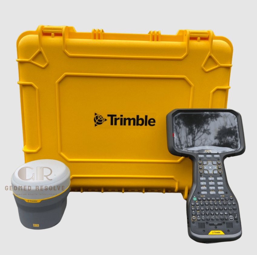
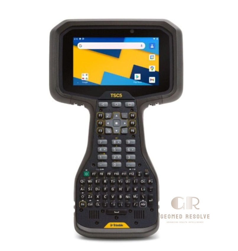
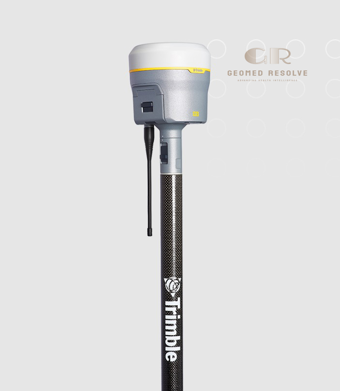
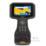
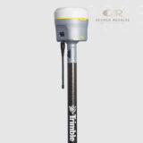
Trimble R12i GNSS Receiver & Controller
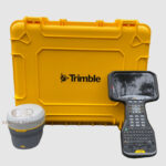
The Trimble R12i GNSS Receiver & Controller is a professional Surveying Equipment solution designed for high-precision positioning, field data collection, and advanced surveying workflows. Combining next-generation GNSS technology with integrated tilt compensation and a powerful field controller, the R12i helps surveyors capture accurate measurements efficiently in challenging environments.
📦 Secure checkout
📦 Secure checkout
✅️SATISFACTION GUARANTEED
✅️FREE SHIPPING ON ORDER OVER $100
✅️SECURE PAYMENTS
✅️MONEY BACK 30 DAYS GUARANTEE
✅️EASY RETURNS

✈️ FAST AND FREE DELIVERY
✈️ FAST AND FREE DELIVERY
🎧 24/7 CUSTOMER SUPPORT
🎧 24/7 CUSTOMER SUPPORT
Description
Trimble R12i GNSS Receiver & Controller – Advanced Surveying Equipment for High-Precision Positioning
The Trimble R12i GNSS Receiver & Controller is an advanced Surveying Equipment solution designed for professional high-precision positioning and field data collection. Featuring advanced GNSS technology and integrated tilt compensation, the R12i allows surveyors to capture accurate measurements faster and more efficiently.
This GNSS surveying system improves productivity by allowing flexible measurement techniques in challenging field conditions. The combination of a powerful GNSS receiver and rugged controller provides a complete solution for land surveying, construction, mapping, and engineering applications.
With reliable satellite positioning, intelligent measurement technology, and professional field performance, the Trimble R12i GNSS Receiver & Controller helps surveying professionals achieve accurate results while reducing fieldwork time.
Main Benefits
High-Precision GNSS Positioning
Provides accurate location data for professional surveying and geospatial applications.
Improved Field Productivity
Reduces measurement time with advanced positioning technology and efficient workflows.
Tilt Compensation Technology
Allows accurate measurements without needing to perfectly level the survey pole.
Reliable Performance in Challenging Areas
Maintains positioning quality in difficult environments with advanced GNSS processing.
Complete Surveying Solution
Combines GNSS receiver performance with an intuitive field controller system.
Key Features
Advanced GNSS Technology
Supports multi-frequency and multi-constellation satellite signals for reliable positioning.
Trimble ProPoint GNSS Engine
Provides enhanced positioning performance in challenging survey conditions.
Integrated Inertial Measurement Unit (IMU)
Enables fast and accurate tilted pole measurements without traditional leveling.
Rugged Field Controller
Provides a professional interface for data collection and survey management.
Wireless Connectivity
Supports efficient communication between receiver, controller, and survey software.
Durable Field Design
Built for demanding outdoor environments and professional surveying operations.
Specifications
Product Type: GNSS Receiver and Survey Controller System
Technology: Multi-constellation GNSS positioning
Category: Surveying Equipment
Subcategory: GNSS Surveying Systems
Positioning Method: RTK and high-precision GNSS measurement
Satellite Support: Multi-frequency GNSS signals
Measurement Capability: Precision surveying and mapping
Tilt Technology: Integrated IMU-based tilt compensation
Controller: Rugged professional field controller
Applications: Construction, land surveying, mapping, and geospatial data collection
Applications
Land Surveying
Provides accurate positioning for boundary surveys, topographic mapping, and geospatial projects.
Construction Surveying
Supports site layout, grading, machine control, and infrastructure development.
Mapping and GIS Data Collection
Helps collect precise location data for geographic information systems.
Utility and Infrastructure Projects
Used for accurate positioning of pipelines, roads, and network infrastructure.
Environmental and Resource Surveys
Supports field data collection for environmental and land management projects.
Engineering Surveying
Provides reliable measurements for professional engineering applications.
What is the Trimble R12i GNSS Receiver used for?
The Trimble R12i is used for high-precision surveying, mapping, construction layout, and geospatial data collection.
What makes the R12i different from standard GNSS receivers?
It features advanced GNSS processing and integrated tilt compensation technology for faster and more flexible measurements.
Can the Trimble R12i measure points without leveling the pole?
Yes, the integrated IMU technology allows accurate measurements with a tilted survey pole.
Is the R12i suitable for construction projects?
Yes, it is widely used for construction surveying, site positioning, and infrastructure projects.
What environments can the R12i work in?
It is designed for professional outdoor use, including challenging survey environments.
Who uses the Trimble R12i system?
Surveyors, engineers, construction professionals, and mapping specialists use the system for precision positioning.



There are no reviews yet.