
No products in the cart.: $0.00

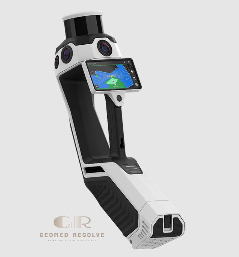
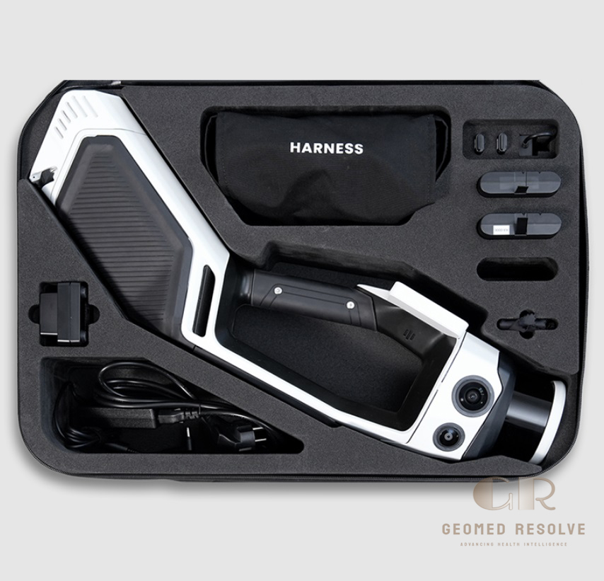
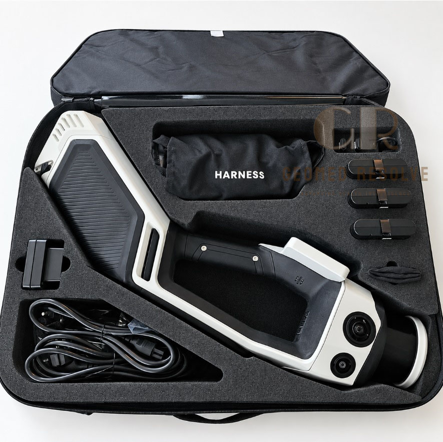
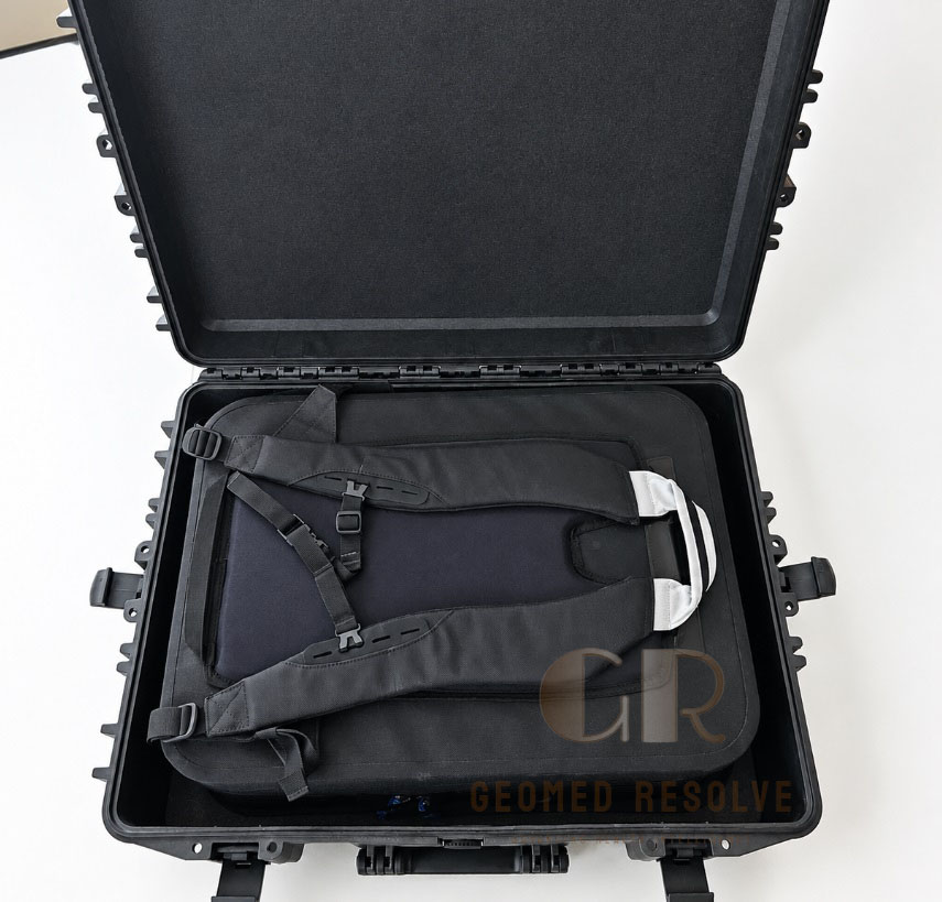
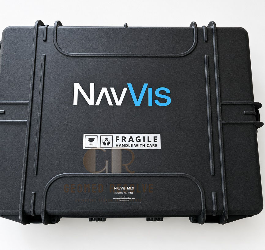
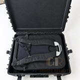
NavVis MLX Laser Scanner
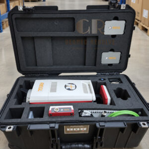
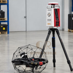
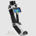
The NavVis MLX Laser Scanner is an advanced LiDAR & Laser Scanning Equipment solution designed for fast, portable, and high-quality 3D reality capture. It combines mobile mapping technology, LiDAR scanning, panoramic imaging, and positioning systems to create accurate digital representations of real-world environments.
📦 Secure checkout
📦 Secure checkout
✅️SATISFACTION GUARANTEED
✅️FREE SHIPPING ON ORDER OVER $100
✅️SECURE PAYMENTS
✅️MONEY BACK 30 DAYS GUARANTEE
✅️EASY RETURNS

✈️ FAST AND FREE DELIVERY
✈️ FAST AND FREE DELIVERY
🎧 24/7 CUSTOMER SUPPORT
🎧 24/7 CUSTOMER SUPPORT
Description
NavVis MLX Laser Scanner – Mobile Mapping LiDAR System for Fast 3D Reality Capture & Digital Twin Creation
The NavVis MLX Laser Scanner is a professional LiDAR & Laser Scanning Equipment solution designed for fast and accurate mobile 3D reality capture. Combining LiDAR scanning technology, panoramic imaging, and advanced positioning, it enables professionals to create detailed digital representations of real-world environments.
As a powerful Mobile 3D Laser Scanner, the NavVis MLX supports applications including indoor mapping, construction documentation, architecture, facility management, and digital twin creation. Its portable scanning workflow helps users capture complex spaces efficiently while reducing traditional measurement effort.
With advanced mobile mapping technology, high-quality 3D data capture, and professional workflow support, the NavVis MLX Laser Scanner is an ideal solution for organizations requiring efficient and accurate reality capture technology.
Main Benefits
Fast Mobile 3D Capture
Captures large and complex environments quickly with efficient walking-based scanning.
High-Quality Reality Capture
Creates detailed 3D point clouds and panoramic imagery for professional documentation.
Portable Mapping Solution
Allows flexible scanning without complex setup or stationary equipment.
Digital Twin Ready
Supports creation of accurate virtual environments for planning and management.
Improved Field Productivity
Reduces manual measurement work and speeds up data collection processes.
Key Features
Advanced Mobile LiDAR Technology
Uses professional laser scanning technology for accurate spatial data collection.
Integrated Panoramic Imaging
Combines 3D measurements with visual information for complete documentation.
Handheld Mobile Scanning Workflow
Allows users to capture environments while walking through spaces.
High-Density Point Cloud Generation
Produces detailed 3D data for modeling, analysis, and visualization.
Indoor Mapping Optimization
Designed for efficient capture of complex indoor environments.
Professional Cloud Processing Support
Enables streamlined data processing and collaboration workflows.
Specifications
Product Type: Mobile LiDAR Laser Scanner
Technology: Mobile mapping LiDAR system
Category: LiDAR & Laser Scanning Equipment
Subcategory: Mobile 3D Laser Scanners
Scanning Method: Handheld mobile laser scanning
Output Data: 3D point clouds, panoramic images, digital models
Applications: Indoor mapping, surveying, construction, digital twins
Operation Mode: Walk-through mobile scanning
Data Processing: Professional reality capture software workflow
Usage Environment: Indoor and large-scale facility mapping projects
Applications
Indoor 3D Mapping
Creates accurate digital maps of offices, buildings, campuses, and facilities.
Digital Twin Development
Supports creation of realistic virtual environments for monitoring and management.
Architecture and Building Documentation
Captures detailed building conditions for design and renovation projects.
Construction and BIM Workflows
Provides accurate site information for planning and project coordination.
Facility Management
Helps document complex facilities for maintenance and operational planning.
Surveying and Reality Capture
Provides efficient spatial data collection for professional mapping projects.
What is the NavVis MLX Laser Scanner used for?
It is used for mobile 3D scanning, indoor mapping, digital twin creation, and reality capture applications.
What type of scanner is the NavVis MLX?
It is a mobile LiDAR laser scanner designed for professional 3D mapping workflows.
Can the NavVis MLX scan large buildings?
Yes, it is designed for efficient capture of large indoor environments and complex facilities.
What data does the NavVis MLX produce?
It produces detailed 3D point clouds, panoramic images, and digital reality models.
Who uses the NavVis MLX Laser Scanner?
Architects, engineers, surveyors, construction teams, and facility managers use it for digital documentation.
What is the advantage of mobile LiDAR scanning?
Mobile LiDAR scanning allows faster data collection compared with traditional stationary scanning methods.


There are no reviews yet.