No products in the cart.: $0.00

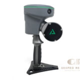
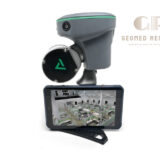
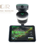
GeoCue TrueView GO132S Standard
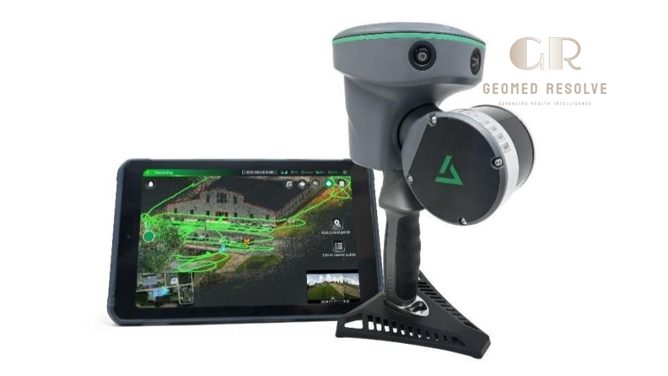
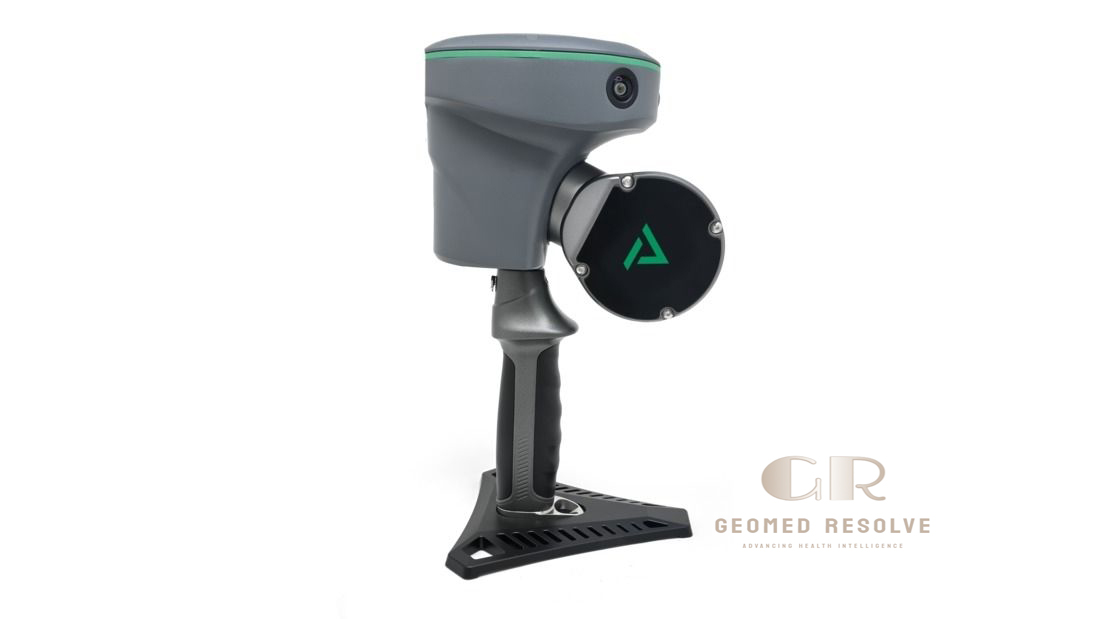
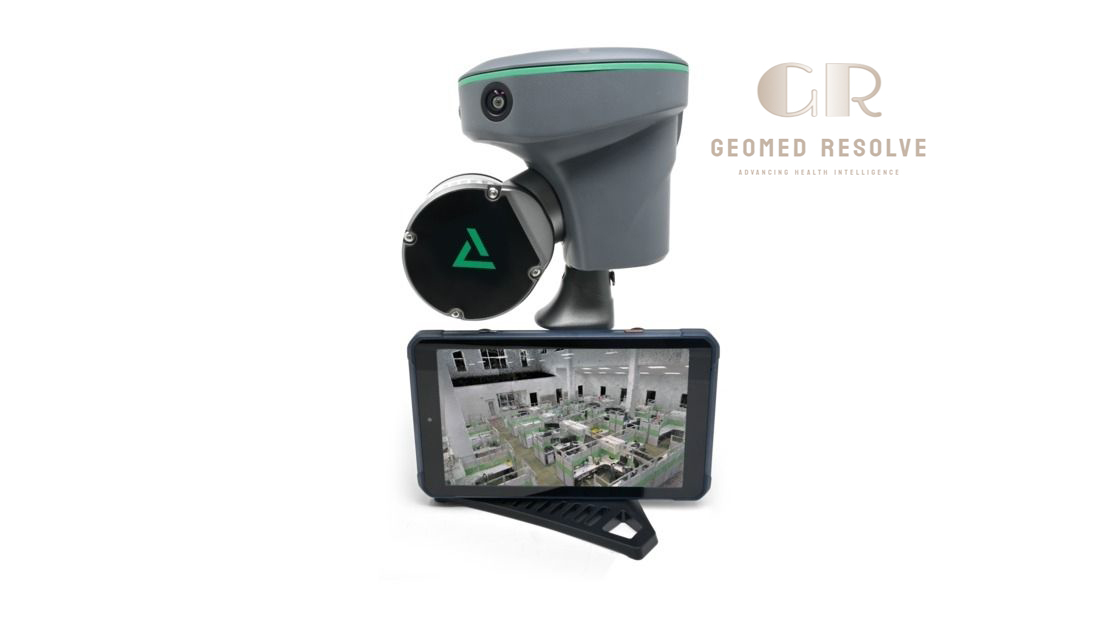
The GeoCue TrueView GO132S Standard is a professional LiDAR & Laser Scanning Equipment solution designed for fast indoor and outdoor 3D mapping, digital twin creation, BIM documentation, construction surveying, facility management, forensic investigation, and infrastructure inspection. Combining a 32-channel LiDAR sensor, GNSS RTK/PPK, Visual SLAM, and three 5 MP RGB cameras, the system delivers high-density point clouds with survey-grade accuracy in a lightweight handheld platform. Integrated with LP360 Land Standard software, the TrueView GO132S Standard provides efficient data processing, QA/QC tools, point cloud editing, and advanced 3D analysis.
📦 Secure checkout
📦 Secure checkout
✅️SATISFACTION GUARANTEED
✅️FREE SHIPPING ON ORDER OVER $100
✅️SECURE PAYMENTS
✅️MONEY BACK 30 DAYS GUARANTEE
✅️EASY RETURNS

✈️ FAST AND FREE DELIVERY
✈️ FAST AND FREE DELIVERY
🎧 24/7 CUSTOMER SUPPORT
🎧 24/7 CUSTOMER SUPPORT
Description
GeoCue TrueView GO132S Standard – Handheld SLAM LiDAR 3D Mapping Scanner with RTK/PPK GNSS
The GeoCue TrueView GO132S Standard is an advanced LiDAR & Laser Scanning Equipment solution developed for professional handheld reality capture, digital twin creation, and high-density 3D mapping. Equipped with a 32-channel LiDAR sensor, GNSS RTK/PPK, Visual SLAM, and three integrated 5 MP RGB cameras, the system captures accurate, colorized point clouds while maintaining excellent mobility in indoor, outdoor, and GNSS-challenged environments. With a 640 kHz pulse rate, 300-meter measurement range, and relative accuracy below 1 cm, the GO132S delivers survey-grade performance for demanding mapping projects.
The Standard package includes LP360 Land Standard, providing advanced tools for SLAM processing, point cloud editing, classification, registration, QA/QC, and 3D visualization. Real-time point cloud viewing, hot-swappable batteries, onboard 512 GB storage, and lightweight construction make the TrueView GO132S an efficient solution for construction, surveying, facility management, infrastructure inspection, public safety, and Scan-to-BIM workflows.
The GeoCue TrueView GO132S Standard is an excellent choice for surveyors, engineers, architects, BIM professionals, construction contractors, utility companies, and public safety organizations seeking a professional handheld SLAM LiDAR scanner for accurate and efficient 3D reality capture.
Main Benefits
High-Density 32-Channel LiDAR
Captures dense, detailed point clouds for accurate 3D mapping and reality capture.
GNSS RTK/PPK + Visual SLAM
Combines RTK/PPK positioning with Visual SLAM for reliable mapping in indoor, outdoor, and GNSS-challenged environments.
Lightweight Handheld Design
Compact handheld system weighing approximately 1.9 kg, making it easy to transport and operate.
Real-Time Point Cloud Visualization
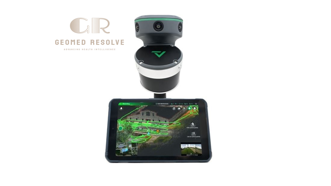
View point cloud acquisition live using the dedicated TrueView GO tablet application.
Survey-Grade Accuracy
Provides relative accuracy below 1 cm and absolute horizontal/vertical accuracy below 5 cm RMS when using RTK/PPK workflows.
Advanced LP360 Processing
Includes LP360 Land Standard software with professional tools for SLAM processing, QA/QC, classification, editing, registration, and visualization.
Key Features
32-Channel LiDAR Sensor
Professional rotating LiDAR sensor provides dense and accurate point cloud acquisition.
GNSS + Visual SLAM Integration
Supports:
GNSS RTK
GNSS PPK
Visual SLAM
for reliable positioning in complex environments.
High-Speed Data Collection
Pulse Rate: 640 kHz
32 laser channels
Dual returns
for efficient field productivity.
Triple RGB Cameras
Includes:
Three 5 MP cameras
Total 15 MP imagery
Automatic point cloud colorization
Long Measurement Range
Maximum Range: 300 m
Effective Range: 80 m at 10% reflectivity
Wide Field of View
Horizontal: 270°
Vertical: 40.3°
for efficient area coverage.
Live Tablet Operation
Dedicated tablet displays scanning progress and real-time point clouds during acquisition.
Large Internal Storage
512 GB onboard storage
Wi-Fi connectivity
Hot-swappable batteries
Specifications
Product Type: Handheld SLAM LiDAR Scanner
Category: LiDAR & Laser Scanning Equipment
Subcategory: Handheld SLAM LiDAR Scanners
Manufacturer: GeoCue
Model: TrueView GO132S Standard
Scanning Technology
LiDAR
Visual SLAM
GNSS RTK/PPK
Laser Class
Class 1 Eye Safe
Laser Wavelength
905 nm
LiDAR Channels
32
Pulse Rate
640 kHz
Returns
Dual Return
Measurement Range
0.05–300 m
Usable Range
80 m @ 10% Reflectivity
Relative Accuracy
<1 cm
Absolute Accuracy
Horizontal: <5 cm RMS
Vertical: <5 cm RMS
Field of View
Horizontal: 270°
Vertical: 40.3°
Camera System
Three 5 MP RGB Cameras
Total 15 MP
Storage
512 GB
Connectivity
Wi-Fi
Battery
Lithium Battery
Hot-swappable
Approximately 1 hour per battery
Weight
Approximately 1.9 kg
Operating Temperature
–20°C to +50°C
Software
LP360 Land Standard
TrueView GO Tablet Software
Applications
Digital Twin Creation
Indoor Mapping
Outdoor Mapping
BIM
Construction Surveying
Facility Management
Infrastructure Inspection
Forensic Documentation
Recommended Industries
Surveying
Civil Engineering
Construction
Architecture
Mining
Public Safety
Utilities
Facility Management
Applications
Digital Twin Creation
Captures detailed 3D environments for digital twin and reality capture projects.
Building Information Modeling (BIM)
Generates accurate point clouds for Scan-to-BIM workflows.
Indoor Mapping
Maps buildings, factories, warehouses, and underground facilities.
Infrastructure Inspection
Documents bridges, tunnels, transportation assets, and utilities.
Construction Documentation
Supports as-built surveys, project verification, and construction progress monitoring.
Facility Management
Creates accurate building documentation for maintenance and asset management.
Public Safety & Forensics
Rapidly captures accident scenes and crime scenes for detailed 3D documentation.
What is the GeoCue TrueView GO132S Standard?
The TrueView GO132S Standard is a professional handheld SLAM LiDAR scanner designed for high-accuracy indoor and outdoor 3D mapping and reality capture.
What LiDAR sensor does it use?
It features a 32-channel Class 1 eye-safe LiDAR sensor operating at 905 nm with a 640 kHz pulse rate.
What is the maximum scanning range?
The scanner measures from 0.05 m to 300 m, with an effective range of approximately 80 m on low-reflectivity targets.
Does the system support GNSS-denied environments?
Yes. By combining Visual SLAM with GNSS RTK/PPK, the scanner continues mapping effectively in indoor spaces and areas with weak or no satellite coverage.
What software is included?
The Standard package includes LP360 Land Standard and the TrueView GO Tablet Software for processing, visualization, QA/QC, editing, and analysis.
Who commonly uses the TrueView GO132S Standard?
It is widely used by surveyors, civil engineers, architects, BIM specialists, forensic investigators, utility companies, construction professionals, and facility managers.