
No products in the cart.: $0.00

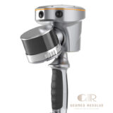
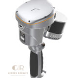
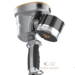
CHCNAV RS10 SLAM 3D LiDAR Scanner
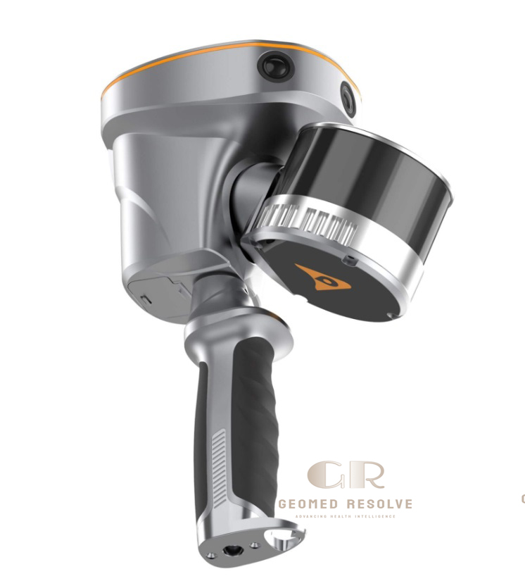
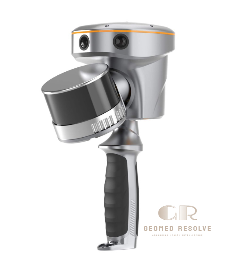
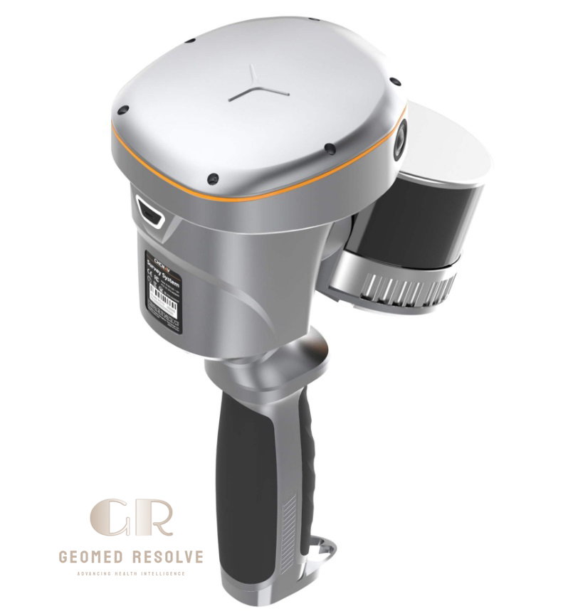
The CHCNAV RS10 SLAM 3D LiDAR Scanner with GNSS RTK is an advanced LiDAR & Laser Scanning Equipment solution that combines GNSS RTK positioning, LiDAR scanning, and visual SLAM technology in one portable handheld platform. It is designed for fast and accurate 3D data capture in both indoor and outdoor environments, including surveying, BIM documentation, infrastructure inspection, and reality mapping projects.
The RS10 enables professionals to create georeferenced point clouds in real time while maintaining high flexibility in areas with weak or unavailable GNSS signals. By integrating LiDAR, cameras, and RTK positioning, it provides an efficient workflow for modern surveying and 3D mapping applications.
📦 Secure checkout
📦 Secure checkout
✅️SATISFACTION GUARANTEED
✅️FREE SHIPPING ON ORDER OVER $100
✅️SECURE PAYMENTS
✅️MONEY BACK 30 DAYS GUARANTEE
✅️EASY RETURNS

✈️ FAST AND FREE DELIVERY
✈️ FAST AND FREE DELIVERY
🎧 24/7 CUSTOMER SUPPORT
🎧 24/7 CUSTOMER SUPPORT
Description
CHCNAV RS10 SLAM 3D LiDAR Scanner with GNSS RTK – Integrated Handheld Laser Scanner for Surveying, BIM & Reality Capture
The CHCNAV RS10 SLAM 3D LiDAR Scanner with GNSS RTK is a next-generation LiDAR & Laser Scanning Equipment solution designed for professional 3D mapping, surveying, and reality capture applications. By combining GNSS RTK positioning, LiDAR scanning, and visual SLAM technology, the RS10 delivers an efficient handheld workflow for collecting accurate georeferenced point clouds in both indoor and outdoor environments.
With high-speed LiDAR scanning, integrated cameras, real-time mapping capability, and flexible operation in challenging environments, the CHCNAV RS10 helps surveyors, engineers, and construction professionals complete 3D data collection faster and more efficiently.
The CHCNAV RS10 SLAM 3D LiDAR Scanner is an excellent choice for professionals looking for a versatile handheld 3D scanning system for surveying, BIM, infrastructure inspection, and advanced reality capture projects.
Main Benefits
Integrated GNSS RTK + SLAM Technology
Combines satellite positioning, laser scanning, and visual SLAM for improved accuracy and flexible field operation.
Fast 3D Reality Capture
Captures detailed point clouds quickly without requiring traditional stationary scanning setups.
Indoor & Outdoor Scanning Capability
Works across construction sites, buildings, tunnels, forests, and infrastructure environments.
High Accuracy Surveying Performance
Provides reliable measurement data with up to approximately 5 cm absolute accuracy and 1 cm relative accuracy under suitable conditions.
Real-Time Mapping Workflow
Generates georeferenced point clouds directly in the field, helping professionals verify data during scanning.
Key Features
GNSS RTK and SLAM Fusion
The RS10 combines a survey-grade GNSS RTK receiver with LiDAR and visual SLAM technology, allowing efficient scanning even when satellite signals are limited.
High-Speed LiDAR Scanning
Provides detailed 3D point cloud acquisition for professional surveying and mapping projects.
Multi-Sensor Integration
Includes LiDAR sensors, GNSS positioning, IMU, and three HD cameras for comprehensive reality capture.
Real-Time Georeferenced Point Clouds
Allows users to view collected 3D data during field operations.
Loop-Free SLAM Workflow
The combination of RTK and SLAM helps simplify field data collection and reduce dependence on traditional scanning workflows.
Portable Handheld Design
Provides a lightweight mobile scanning solution for efficient data collection.
Hot-Swappable Battery System
Supports continuous field operation with replaceable batteries.
Professional Data Processing
Compatible with modern point cloud processing and surveying workflows.
Specifications
Product Type: Handheld SLAM 3D LiDAR Scanner
Category: LiDAR & Laser Scanning Equipment
Subcategory: Handheld SLAM 3D Laser Scanners
Technology: LiDAR + Visual SLAM + GNSS RTK
Laser Channels: 16 or 32 channels
Scanning Range: Up to 120 m or 300 m depending on configuration
Scan Rate: Up to 320,000 or 640,000 points per second
Returns: Up to 2 returns
Absolute Accuracy: Approximately <5 cm horizontal and vertical
Relative Accuracy: Approximately 1 cm
Camera System: 15 MP total (3 × 5 MP cameras)
Positioning: Full GNSS RTK support
Communication: 4G, Wi-Fi, Bluetooth connectivity
Operation Mode: Handheld mobile mapping
Data Output: 3D point clouds and georeferenced mapping data
Applications
Land Surveying
Used for topographic surveys, terrain mapping, and fast field data collection.
BIM & Construction Documentation
Creates accurate 3D models and as-built documentation for construction projects.
Indoor 3D Mapping
Suitable for buildings, facilities, warehouses, and complex indoor environments.
Infrastructure Inspection
Supports documentation of roads, bridges, utilities, and engineering structures.
Forestry & Environmental Mapping
Captures vegetation structures and outdoor environments.
Underground Mapping
Useful for tunnels, mines, and areas where GNSS availability is limited.
Utility & Power Line Inspection
Supports asset mapping and infrastructure management projects.
What is the CHCNAV RS10 SLAM 3D LiDAR Scanner used for?
The RS10 is used for professional 3D scanning, surveying, BIM documentation, mapping, and infrastructure data collection.
What technologies are integrated into the RS10?
It combines GNSS RTK positioning, LiDAR scanning, and visual SLAM technology in one handheld system.
Can the RS10 scan indoors without GNSS signal?
Yes. The SLAM technology allows scanning in environments where GNSS signals are weak or unavailable.
What accuracy can the RS10 achieve?
The RS10 can achieve approximately 5 cm absolute accuracy and 1 cm relative accuracy depending on operating conditions.
Is CHCNAV RS10 suitable for construction projects?
Yes. It is designed for BIM, as-built documentation, surveying, and infrastructure projects.
What makes RS10 different from traditional laser scanners?
The RS10 integrates RTK positioning and SLAM into a handheld scanner, allowing faster mobile data collection compared with traditional static scanning workflows.


There are no reviews yet.