No products in the cart.: $0.00

FARO Orbis Used
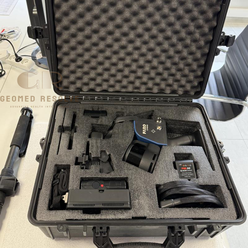
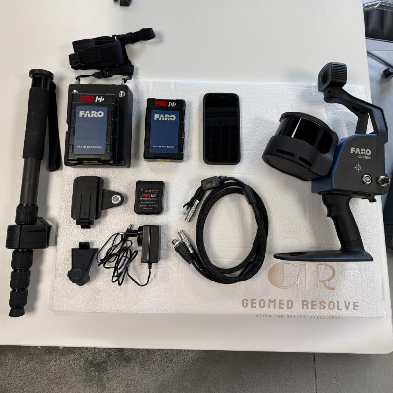
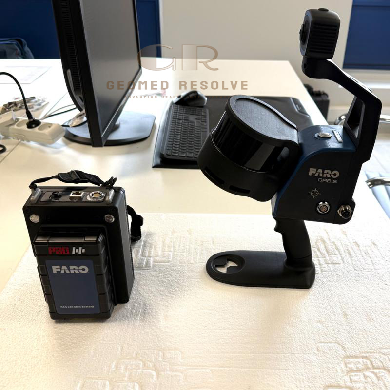
The FARO Orbis Used is a professional mobile LiDAR 3D scanner designed for rapid reality capture and accurate point cloud generation. Featuring SLAM technology, 32-channel LiDAR, mobile and stationary scanning capability, and panoramic imaging, it provides an efficient solution for surveying, BIM, construction, and industrial mapping applications.
Description
FARO Orbis Used – Mobile LiDAR 3D Scanner for Fast Reality Capture and Mapping
The FARO Orbis Used is a professional mobile LiDAR 3D scanner designed for fast reality capture, surveying, construction documentation, and digital mapping projects. Combining SLAM mobile scanning technology with stationary Flash scanning capability, the system allows users to efficiently capture detailed 3D environments while walking or performing detailed scans from fixed positions.
With a compact portable design, integrated cameras, high-speed point cloud collection, and compatibility with FARO processing software, the used FARO Orbis provides an efficient solution for professionals requiring reliable 3D scanning performance at a lower investment cost.
Main Benefits
Fast mobile LiDAR scanning workflow
Combines handheld and stationary scanning
High-density point cloud capture
Suitable for indoor and outdoor mapping
Reduces field measurement time
Supports BIM and digital twin workflows
Portable and easy-to-use design
Cost-effective used professional scanner
Key Features
SLAM-based mobile mapping technology
Mobile and stationary Flash scanning modes
32-channel LiDAR sensor
Long-range scanning capability
Integrated panoramic imaging
Automatic point cloud registration
Real-time data capture workflow
Lightweight portable system
One-button scanning operation
Supports FARO Connect and FARO SCENE software
Suitable for construction and surveying environments
Key Specifications
Product Type: Mobile LiDAR 3D Scanner
Scanning Technology: LiDAR SLAM + Flash scanning
LiDAR Channels: 32 channels
Maximum Range: Up to 120 m
Point Capture Rate: Up to 640,000 points/second
Field of View:
Horizontal: 360°
Vertical: 290°
Mobile Scan Accuracy: Approximately 5 mm
Stationary Flash Scan Accuracy: Approximately 2 mm
Laser Class: Class 1 eye-safe laser
Camera System: 360° panoramic imaging
Internal Storage: 512 GB
Battery Runtime: Approximately 3 hours
Weight: Approximately 3.6 kg including scanner, datalogger, and battery
Protection Rating: IP54
Processing Software:
FARO Connect
FARO SCENE
FARO Sphere XG
Applications
The FARO Orbis Used is ideal for:
Building Information Modeling (BIM)
Construction site documentation
Land surveying
Infrastructure inspection
Industrial facility mapping
Factory and plant documentation
Digital twin creation
Architecture measurement
Mining and underground mapping
Road and bridge surveys
Reality capture projects
Engineering documentation
What is the FARO Orbis used for?
The FARO Orbis is used for mobile 3D laser scanning, BIM documentation, surveying, construction measurement, industrial mapping, and digital twin creation.
What is the scanning range of FARO Orbis?
The FARO Orbis provides LiDAR scanning up to 120 meters, depending on environmental conditions and scanning configuration.
Can FARO Orbis perform stationary scanning?
Yes. The Orbis supports stationary Flash scanning for capturing higher-detail scans when required.
Does FARO Orbis support BIM projects?
Yes. It is designed for reality capture workflows including BIM documentation, construction verification, and 3D modeling.
Is a used FARO Orbis a good choice?
Yes. A properly inspected and calibrated used FARO Orbis can provide professional mobile LiDAR scanning capability while reducing equipment investment costs.