No products in the cart.: $0.00

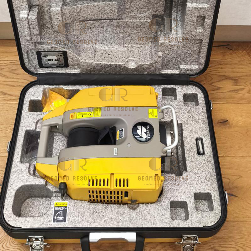
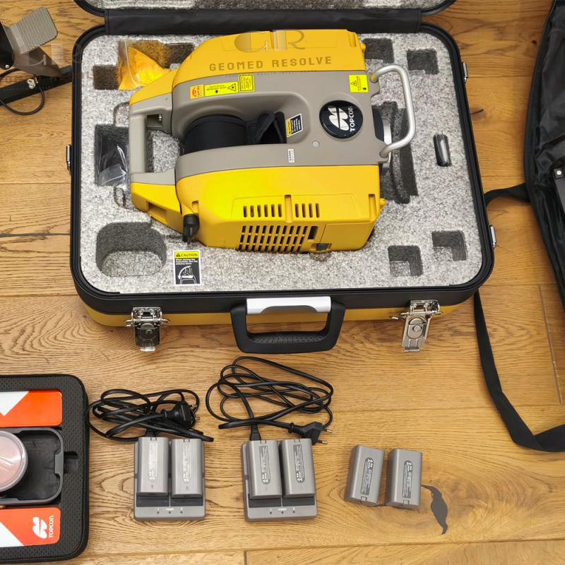
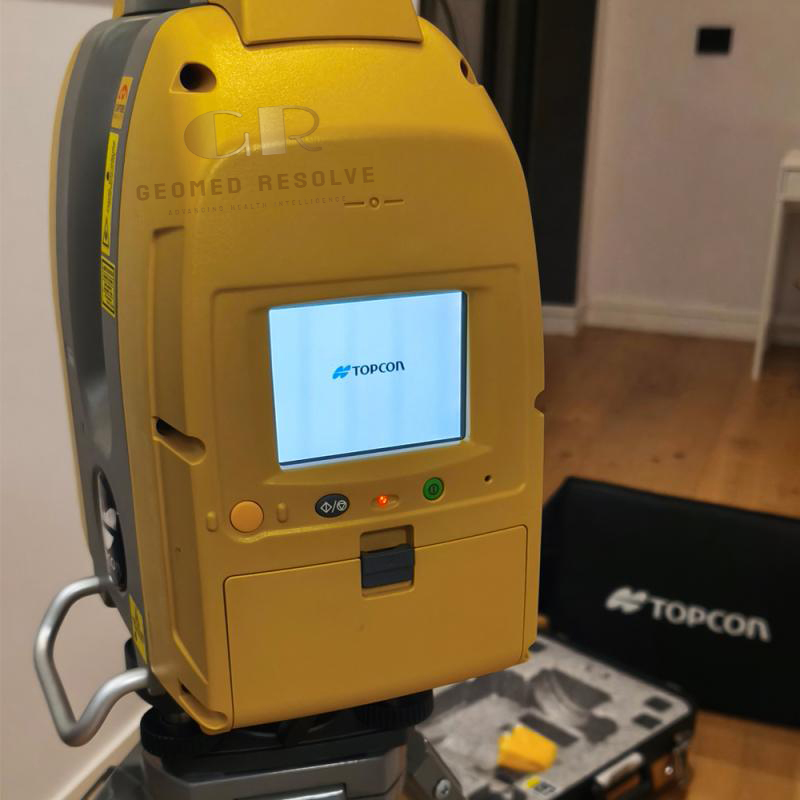
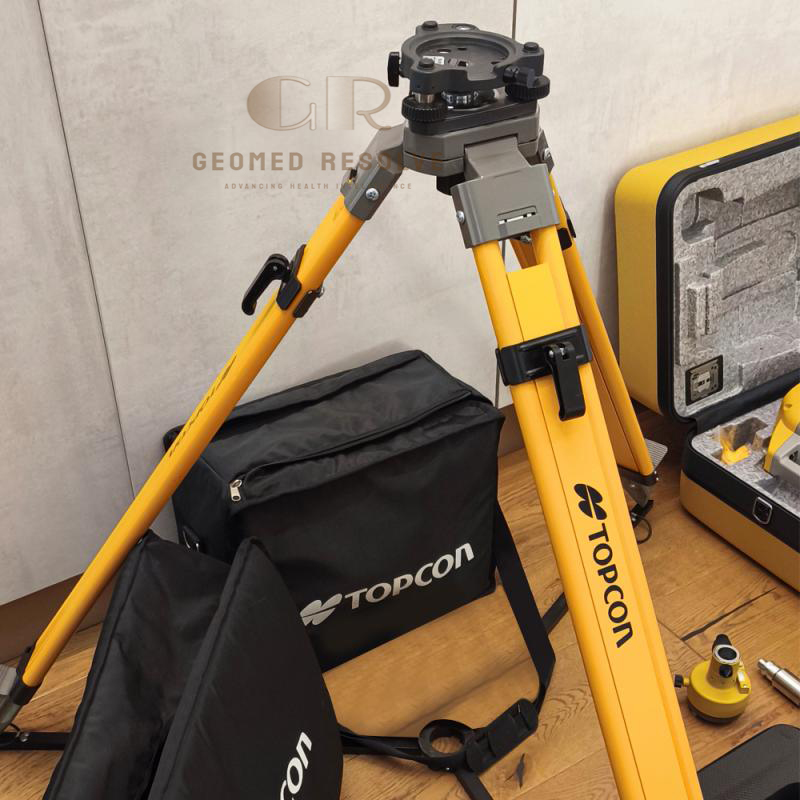
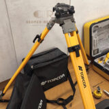
Topcon GLS-2200S Used 3D Laser Scanner
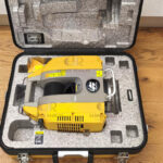
The Topcon GLS-2200S Used 3D Laser Scanner is a professional terrestrial LiDAR system designed for accurate 3D reality capture and point cloud generation. With long-range scanning, high precision, panoramic imaging, and reliable surveying performance, it is an excellent solution for construction, engineering, BIM, and geospatial applications.
Description
Topcon GLS-2200S Used 3D Laser Scanner – Professional Terrestrial LiDAR Scanning System
The Topcon GLS-2200S Used 3D Laser Scanner is a professional terrestrial laser scanning system designed to capture accurate 3D point cloud data for surveying, construction, engineering, and infrastructure documentation. Combining high-speed laser scanning, panoramic imaging, dual-axis tilt compensation, and reliable field performance, it provides detailed spatial information for creating digital models and analyzing real-world environments.
A well-maintained used GLS-2200S offers an economical solution for professionals who need reliable LiDAR scanning capability for reality capture, BIM, and surveying projects. The scanner provides high accuracy, 360° horizontal coverage, and flexible scanning modes for different project requirements.
Main Benefits
High-accuracy terrestrial LiDAR scanning
Professional point cloud data capture
Long-range measurement capability
Suitable for indoor and outdoor projects
Supports BIM and digital documentation workflows
HDR imaging for detailed visualization
Reliable surveying-grade performance
Cost-effective used scanning solution
Key Features
3D laser scanning technology
360° horizontal and 270° vertical field of view
Multiple scanning modes:
Detail mode
High-speed mode
Low-power mode
Standard mode
Dual 5-megapixel cameras
HDR image capture
Dual-axis tilt compensation
Integrated laser plummet
SD card data storage
Remote operation capability
Compatible with Topcon MAGNET Collage software
Rugged IP54 environmental protection
Key Specifications
Product Type: Terrestrial 3D Laser Scanner
Scanning Technology: Time-of-Flight (TOF) LiDAR
Maximum Range:
Up to 130 m (short range configuration)
Up to 350 m (long range configuration)
Up to 500 m depending on configuration and reflectivity
Scan Data Rate:
Up to 120,000 points/second
Field of View:
Horizontal: 360°
Vertical: 270°
Angle Accuracy:
Horizontal: 6 arc seconds
Vertical: 6 arc seconds
Distance Accuracy:
Approximately 3.1 mm depending on scanning mode
Surface Accuracy:
Approximately 1 mm depending on conditions
Camera:
Dual 5 MP cameras
Wide-angle and telephoto imaging
Tilt Compensation:
±6 arc minutes
Storage:
SD / SDHC card
Protection Rating:
IP54
Weight:
Approximately 10 kg including base and battery
Operating Temperature:
-5°C to +45°C
Applications
The Topcon GLS-2200S Used 3D Laser Scanner is ideal for:
Land surveying
Construction site documentation
Building Information Modeling (BIM)
Infrastructure inspection
Road and bridge surveys
Industrial facility measurement
Mining and quarry mapping
Architecture documentation
Digital twin creation
As-built survey projects
Engineering analysis
What is the Topcon GLS-2200S used for?
The GLS-2200S is used for terrestrial laser scanning, surveying, BIM documentation, construction verification, infrastructure inspection, and 3D mapping projects.
What is the scanning range of the GLS-2200S?
Depending on the scanning configuration and target reflectivity, the scanner can measure from approximately 130 m up to 500 m.
Does the scanner capture color images?
Yes. It includes dual 5-megapixel cameras with HDR imaging capability for detailed colorized point clouds.
Can the GLS-2200S be used for BIM projects?
Yes. It is suitable for BIM workflows, as-built documentation, digital modeling, and construction verification.
Is a used Topcon GLS-2200S a good choice?
Yes. A properly inspected and calibrated used GLS-2200S provides professional LiDAR scanning performance at a lower investment cost compared with purchasing a new system.