No products in the cart.: $0.00

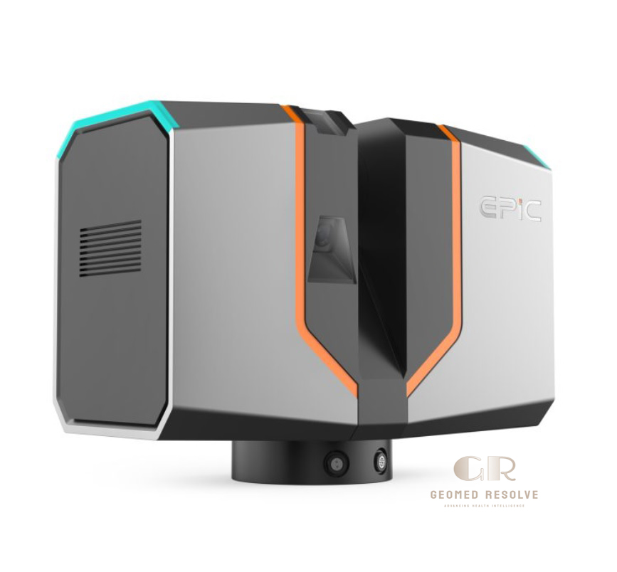
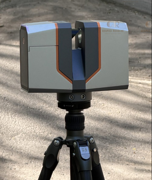
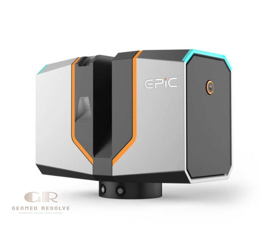
EPIC T150 TLS LiDAR 3D Scanner
The EPIC T150 TLS LiDAR 3D Scanner is a professional terrestrial laser scanning system that delivers fast, accurate, and reliable 3D data collection. Featuring a 150 m scanning range, high-speed LiDAR, integrated GNSS, panoramic imaging, and lightweight portability, it is an ideal solution for surveying, BIM, digital twins, and engineering documentation.
Description
EPIC T150 TLS LiDAR 3D Scanner – Professional Terrestrial Laser Scanning System
The EPIC T150 TLS LiDAR 3D Scanner is a professional terrestrial laser scanning (TLS) system designed to capture highly accurate 3D point clouds for surveying, construction, architecture, engineering, mining, and infrastructure projects. Combining high-speed LiDAR technology, panoramic imaging, integrated GNSS, and an IMU, the scanner enables efficient data collection for creating detailed digital twins, BIM models, and as-built documentation.
Its lightweight design, fast scanning performance, and advanced positioning capabilities make it an excellent solution for professionals requiring reliable and accurate spatial data.
Main Benefits
High-precision 3D laser scanning
Measurement range up to 150 m
Fast point cloud acquisition
Lightweight and portable design
Integrated GNSS positioning
Panoramic color image capture
Ideal for BIM and digital twin projects
Reliable outdoor and indoor performance
Key Features
Terrestrial LiDAR scanning technology
Up to 150 m scanning range
Maximum pulse rate of 1.2 million points per second
360° × 300° field of view
Dual panoramic cameras
Approximately 100 MP panoramic images
HDR image support
Integrated GNSS receiver
Built-in IMU with tilt compensation
1 TB internal SSD storage
IP54 environmental protection
Compact and lightweight construction
Key Specifications
Product Type: Terrestrial LiDAR 3D Scanner
Scanning Technology: Time-of-Flight (ToF) LiDAR
Maximum Measurement Range: 150 m
Measurement Accuracy:
2 mm at 50 m
3 mm at 100 m
Precision:
1.5 mm at 50 m
2.5 mm at 100 m
Maximum Pulse Frequency: 1.2 MHz
Field of View: 360° × 300°
Scan Speed: 100 lines per second
Laser Class: Class 1
Camera Resolution: Dual 4,000 × 3,000 px cameras
Panoramic Image: Approximately 100 MP
Internal Storage: 1 TB SSD
Positioning: Multi-constellation GNSS (GPS, GLONASS, Galileo, BeiDou, NavIC)
Tilt Compensation: ±5°
Protection Rating: IP54
Weight: Approximately 3.3 kg
Operating Temperature: -20°C to +50°C
Applications
The EPIC T150 TLS LiDAR 3D Scanner is ideal for:
Land surveying
Construction documentation
Building Information Modeling (BIM)
Digital twin creation
Architecture and engineering
Infrastructure inspection
Mining and quarry surveying
Industrial facility documentation
Heritage preservation
Reality capture projects
What is the EPIC T150 TLS LiDAR 3D Scanner used for?
It is used to capture precise 3D point clouds for surveying, construction, BIM, digital twins, infrastructure inspection, and engineering documentation.
What is the maximum scanning range?
The scanner provides a maximum measurement range of 150 meters.
Does the scanner include GNSS?
Yes. It features an integrated multi-constellation GNSS receiver supporting GPS, GLONASS, Galileo, BeiDou, and NavIC.
What level of accuracy does it provide?
The scanner delivers measurement accuracy of 2 mm at 50 m and 3 mm at 100 m, with precision up to 1.5 mm at 50 m.
Is the scanner suitable for outdoor use?
Yes. Its IP54-rated enclosure and operating temperature range from -20°C to +50°C make it suitable for demanding indoor and outdoor environments.