No products in the cart.: $0.00

Trimble X9 3D High-Speed Laser Scanner
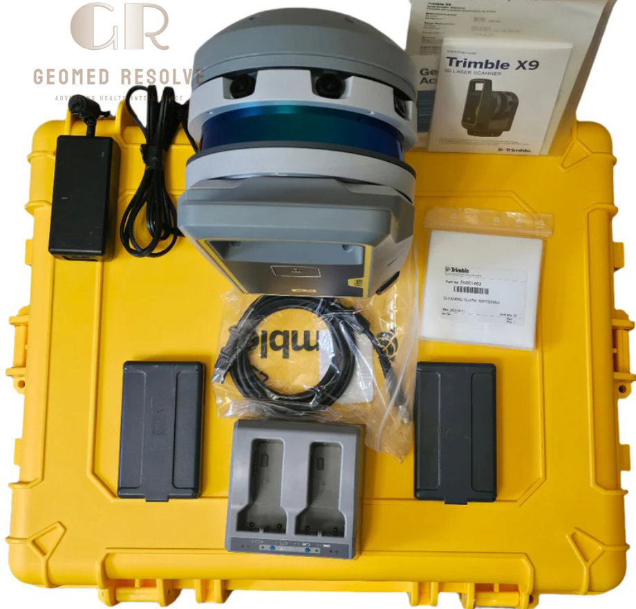
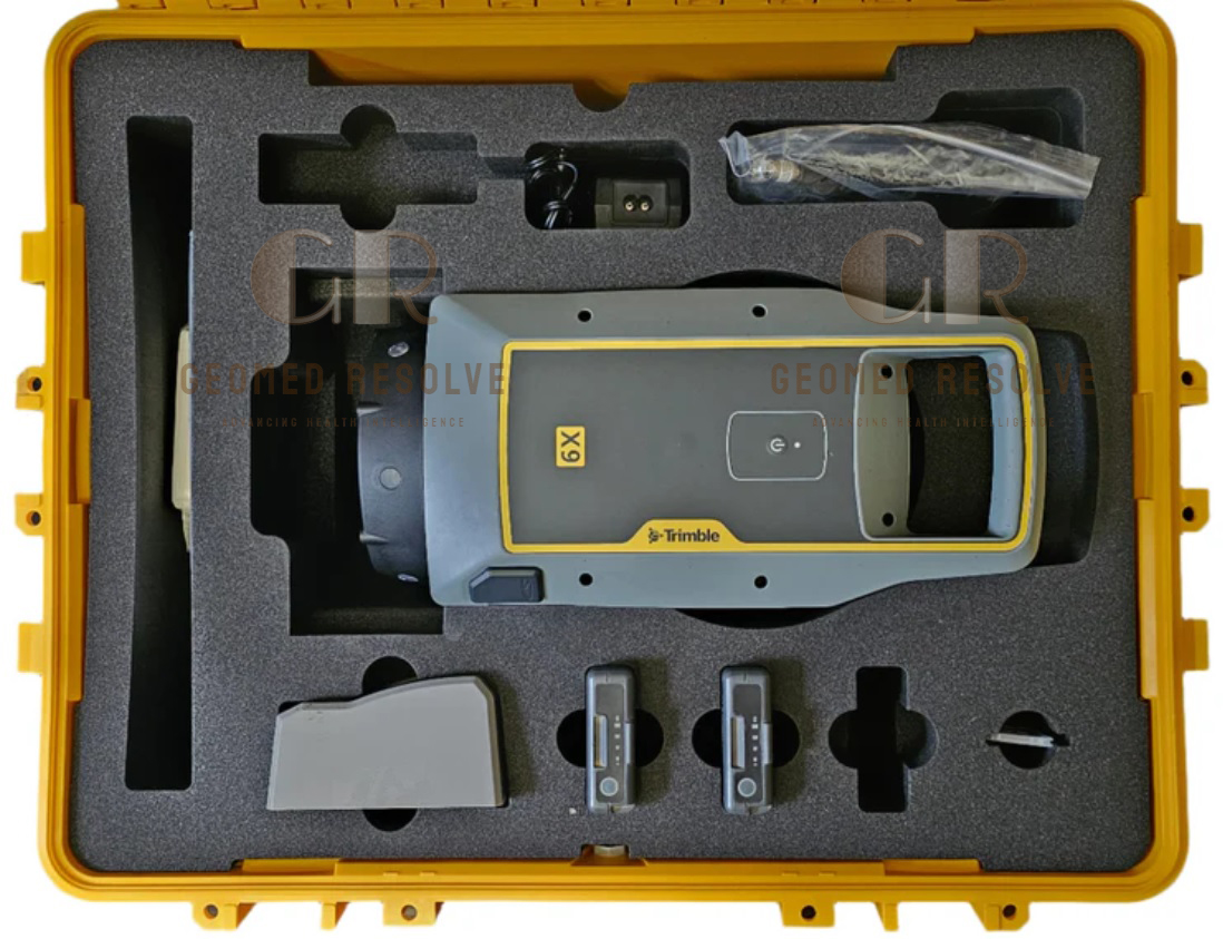
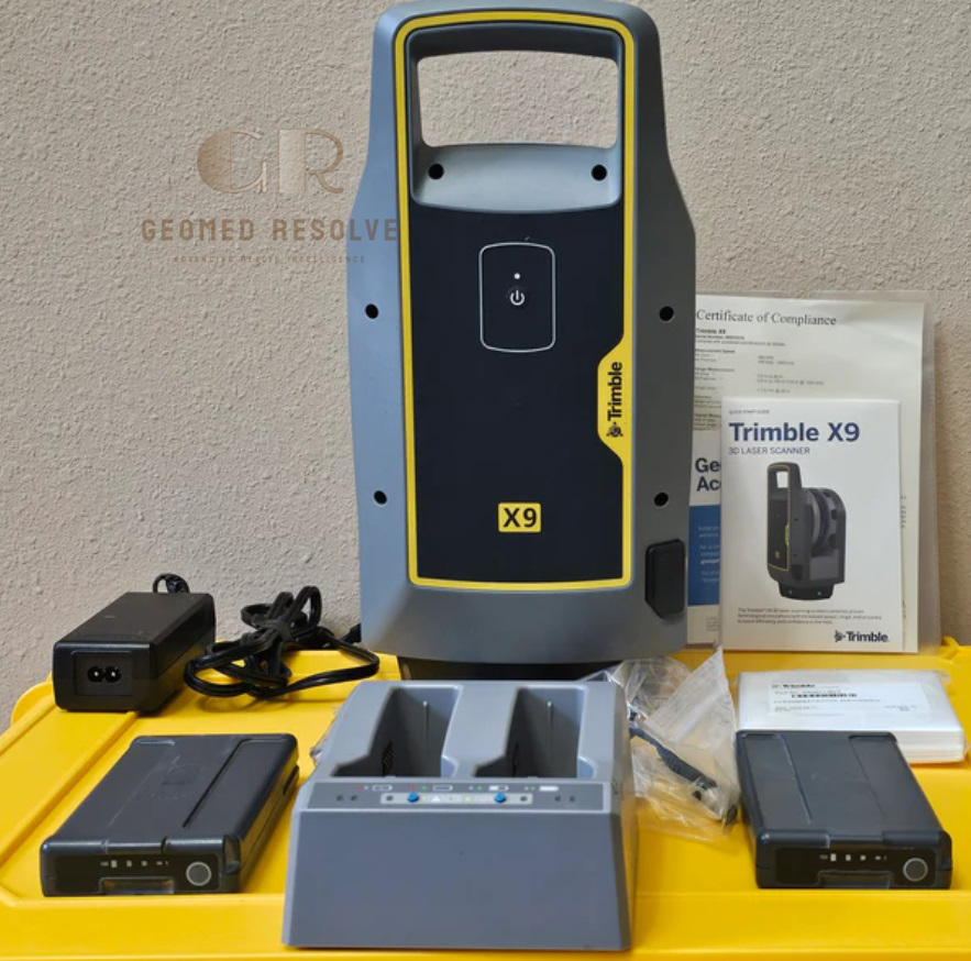
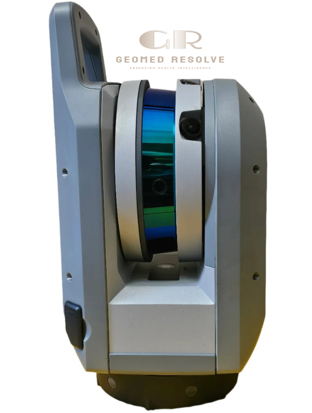
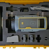
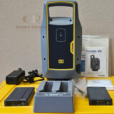
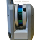
The Trimble X9 3D High-Speed Laser Scanner Package with Tripod & T10x Tablet is a professional 3D Scanner and reality capture system designed for fast, accurate, and reliable terrestrial scanning. It combines the Trimble X9 laser scanner, rugged survey tripod, and Trimble T10x field tablet to deliver a complete workflow for data capture, registration, and on-site verification.
Featuring automatic self-calibration with Trimble X-Drive technology, high-speed point cloud capture, and HDR panoramic imaging, the system is built for surveying, construction, BIM, infrastructure, and industrial inspection applications requiring efficient and high-quality 3D data collection.
📦 Secure checkout
📦 Secure checkout
✅️SATISFACTION GUARANTEED
✅️FREE SHIPPING ON ORDER OVER $100
✅️SECURE PAYMENTS
✅️MONEY BACK 30 DAYS GUARANTEE
✅️EASY RETURNS

✈️ FAST AND FREE DELIVERY
✈️ FAST AND FREE DELIVERY
🎧 24/7 CUSTOMER SUPPORT
🎧 24/7 CUSTOMER SUPPORT
Description
Trimble X9 3D High-Speed Laser Scanner Package with Tripod & T10x Tablet – Professional Terrestrial Reality Capture System
The Trimble X9 3D High-Speed Laser Scanner Package with Tripod & T10x Tablet is a complete professional 3D Scanner solution designed for fast, accurate, and efficient reality capture. It integrates high-speed laser scanning, automatic calibration, HDR imaging, and rugged field hardware into a single workflow system.
With Trimble X-Drive technology, the system maintains continuous accuracy without manual calibration while delivering consistent high-quality point cloud data. The included T10x tablet enables real-time control, registration, and verification directly in the field, reducing processing time and improving productivity.
This system is widely used in surveying, BIM, construction verification, infrastructure inspection, industrial documentation, and digital twin workflows, making it a powerful all-in-one solution for modern geospatial professionals.
Main Benefits
High-Speed Reality Capture
Captures up to 1,000,000 points per second for rapid scanning of buildings, sites, and industrial environments.
High Accuracy Survey Data
Delivers precise point cloud results suitable for engineering, BIM modeling, construction verification, and as-built documentation.
Complete Field Workflow
Includes Trimble T10x tablet for real-time scanning control, registration, and quality checks directly in the field.
Automatic Self-Calibration
Trimble X-Drive system continuously calibrates the scanner to maintain consistent accuracy without manual adjustments.
Colorized 3D Data
Integrated HDR panoramic imaging produces realistic, high-quality color point clouds for visualization and analysis.
Rugged Field Performance
Designed for harsh environments with durable construction and IP55 protection against dust and water.
Key Features
High-Speed Laser Scanning
Up to 1,000,000 points/second for fast data capture.
Measurement Range
0.6 m to 150 m working range suitable for indoor and outdoor applications.
Trimble X-Drive Technology
Automatic self-calibration ensures stable accuracy throughout operation.
HDR Panoramic Imaging
Captures high-resolution images for colorized point cloud generation.
Trimble Perspective Software
Provides scan control, automatic registration, field visualization, and project management.
Trimble T10x Rugged Tablet
Windows operating system
Sunlight-readable display
Wireless scanner control
Rugged construction for field use
Wireless Connectivity
Wi-Fi and Bluetooth support for flexible field operation.
Rugged Design
IP55-rated protection for construction and outdoor environments.
Fast Field Setup
Quick initialization and easy deployment for efficient scanning workflows.
Specifications
Product Type: High-Speed Terrestrial Laser Scanner Package
Category: 3D Scanners
Subcategory: Terrestrial Laser Scanners
Manufacturer: Trimble
Measurement Technology
Time-of-Flight Laser Scanning
Scan Speed
Up to 1,000,000 points per second
Measurement Range
0.6 m – 150 m
Accuracy
Approx. 2 mm at 20 m
Imaging
HDR panoramic camera system
Calibration
Trimble X-Drive automatic self-calibration
Connectivity
Wi-Fi, Bluetooth, USB, Ethernet
Environmental Protection
IP55
Laser Class
Class 1 Eye Safe
Tablet
Trimble T10x rugged Windows field controller
Power
Rechargeable dual-battery system with field operation support
Tripod
Professional heavy-duty survey tripod included
Applications
Land Surveying
Topographic mapping, site surveys, and boundary documentation.
Construction & BIM
As-built documentation, progress monitoring, and design comparison.
Infrastructure Inspection
Bridges, tunnels, roads, railways, and utilities scanning.
Industrial Facilities
Factories, plants, and equipment documentation for maintenance and planning.
Mining & Quarrying
Stockpile measurement, terrain modeling, and volume calculations.
Architecture & Heritage
Digital preservation of buildings, monuments, and cultural assets.
Digital Twin Creation
High-resolution reality capture for asset lifecycle management.
What is the Trimble X9 used for?
It is used for high-speed 3D laser scanning in surveying, construction, BIM, and industrial inspection.
How fast is the Trimble X9?
It captures up to 1,000,000 points per second for rapid data collection.
What is the scanning range?
The system operates from 0.6 m to 150 m, suitable for both indoor and outdoor projects.
Does it include a field controller?
Yes, it includes the Trimble T10x rugged tablet for full field control and data management.
Is it suitable for outdoor use?
Yes, the system has IP55 protection and is designed for harsh field environments.
Can it produce colorized point clouds?
Yes, HDR panoramic imaging enables realistic colorized 3D scan data.