No products in the cart.: $0.00

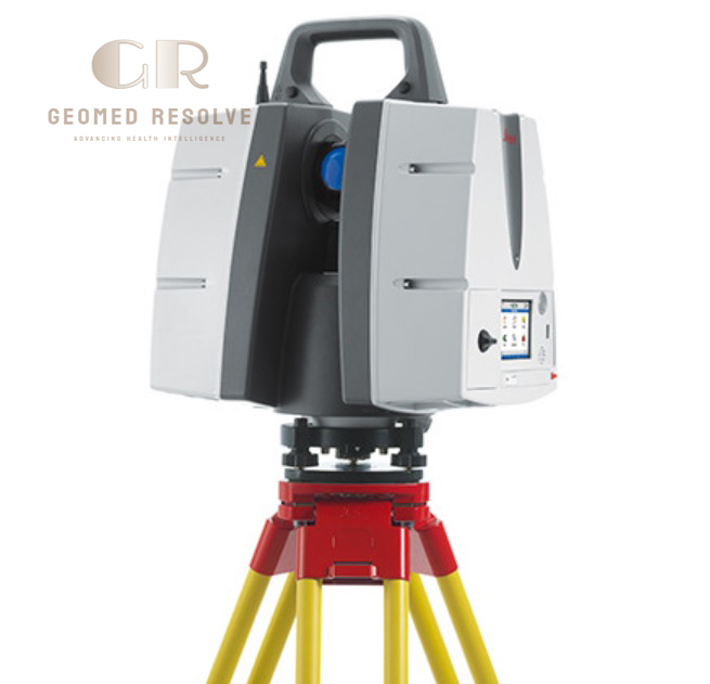
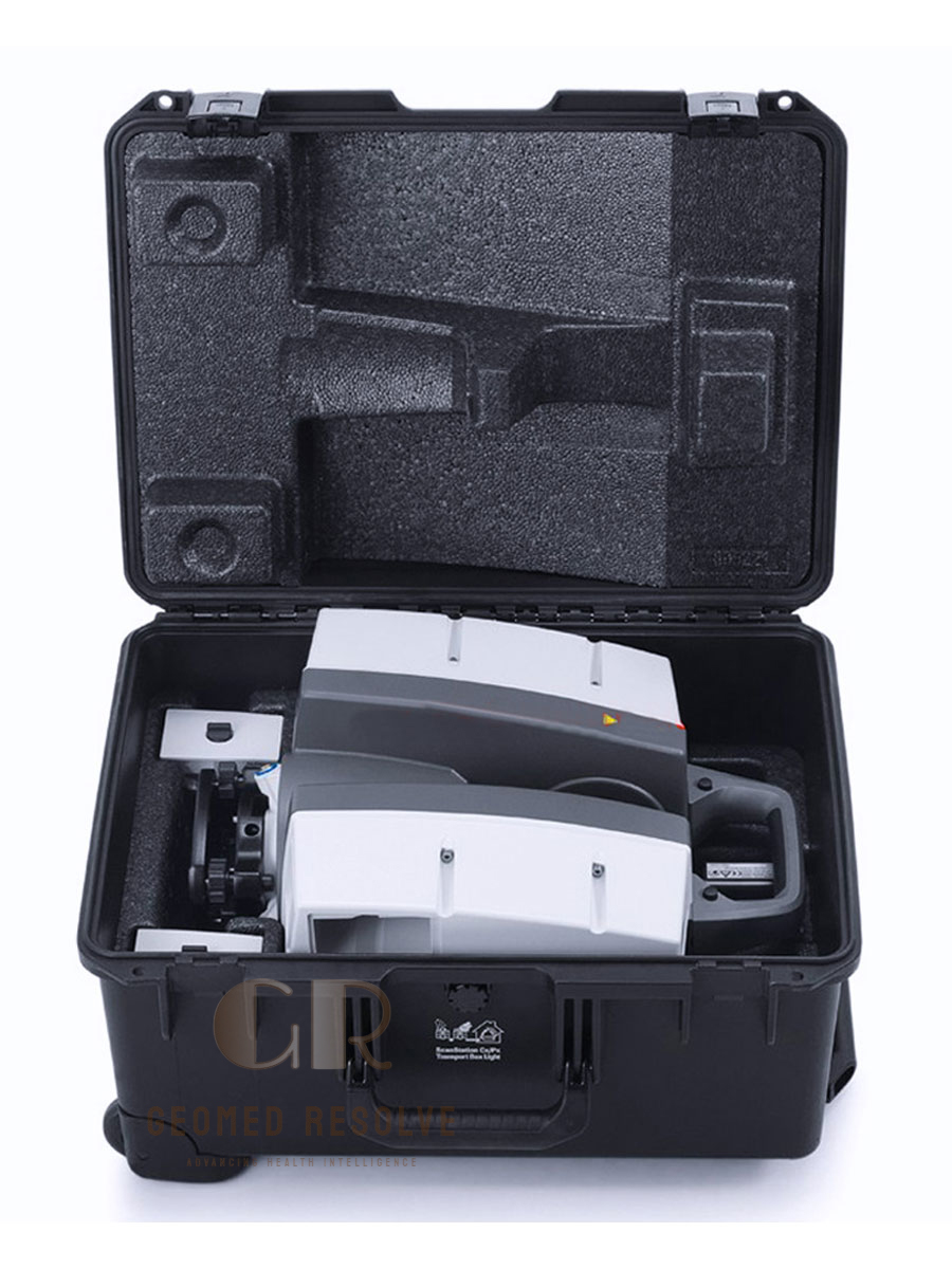
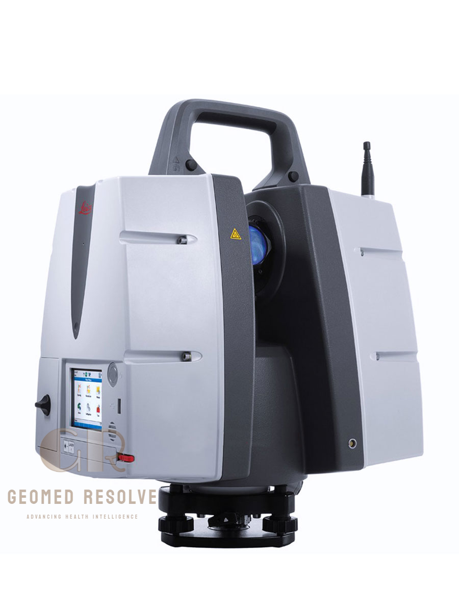
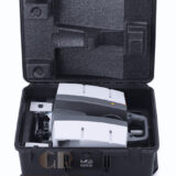
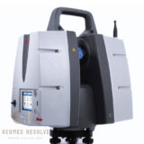
Leica ScanStation P50 Laser Scanner
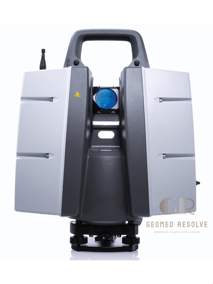
The Leica ScanStation P50 Laser Scanner is a high-performance LiDAR & Laser Scanning Equipment solution engineered for long-range 3D reality capture, surveying, industrial plant documentation, mining, infrastructure inspection, and BIM applications. Utilizing advanced Time-of-Flight (ToF) laser technology with Leica Waveform Digitizing (WFD), the ScanStation P50 captures up to 1,000,000 points per second and measures targets at distances exceeding 1 km under optimal conditions. Its survey-grade accuracy, HDR imaging, integrated cameras, and rugged IP54-rated design make it an ideal solution for demanding outdoor scanning projects
📦 Secure checkout
📦 Secure checkout
✅️SATISFACTION GUARANTEED
✅️FREE SHIPPING ON ORDER OVER $100
✅️SECURE PAYMENTS
✅️MONEY BACK 30 DAYS GUARANTEE
✅️EASY RETURNS

✈️ FAST AND FREE DELIVERY
✈️ FAST AND FREE DELIVERY
🎧 24/7 CUSTOMER SUPPORT
🎧 24/7 CUSTOMER SUPPORT
Description
Leica ScanStation P50 Laser Scanner – Long-Range 3D Laser Scanning System
The Leica ScanStation P50 Laser Scanner is a premium LiDAR & Laser Scanning Equipment solution developed for professional long-range 3D reality capture and precision surveying. Combining advanced Time-of-Flight laser technology, Leica’s proprietary Waveform Digitizing (WFD) system, and survey-grade measurement accuracy, the ScanStation P50 captures up to 1,000,000 points per second while measuring targets at distances exceeding 1 kilometer. Its integrated HDR imaging system, dual-axis compensator, and rugged IP54-rated construction ensure reliable performance in demanding field environments.
Featuring a 360° × 290° field of view, integrated 256 GB SSD storage, Wi-Fi connectivity, remote operation capabilities, and compatibility with Leica Cyclone software, the ScanStation P50 delivers efficient workflows for topographic surveys, BIM, industrial plant documentation, mining operations, infrastructure inspections, and heritage preservation. The system provides highly accurate, colorized point clouds that help professionals improve project planning, documentation, and quality control.
The Leica ScanStation P50 Laser Scanner is an ideal solution for surveyors, civil engineers, architects, construction companies, mining professionals, and industrial inspection teams seeking a reliable, long-range terrestrial laser scanner for high-precision 3D data capture.
Main Benefits
Ultra Long-Range Scanning
Captures highly accurate 3D data at distances of over 1 km, reducing the number of scanner setups required for large projects.
Survey-Grade Accuracy
Delivers exceptional range and angular accuracy for engineering, surveying, and industrial documentation.
High-Speed Data Capture
Scans up to 1,000,000 points per second, improving productivity and reducing field time.
HDR Imaging
Integrated high-resolution camera captures detailed colorized point clouds for realistic project visualization.
Rugged Outdoor Performance
Operates reliably in harsh environments with an IP54-rated enclosure and operating temperatures from –20°C to +50°C.
Complete Leica Workflow
Compatible with Leica Cyclone software, FIELD 360, and Leica reality capture workflows for efficient data processing.
Key Features
Long-Range Time-of-Flight Laser
Advanced Time-of-Flight laser with Waveform Digitizing technology for accurate long-distance measurements.
High Scan Speed
Captures up to:
1,000,000 points per second
for rapid field acquisition.
Exceptional Measurement Range
Supports multiple range modes with maximum distances exceeding 1,000 meters depending on target reflectivity.
Full 360° Field of View
Horizontal: 360°
Vertical: 290°
allowing complete scene coverage from a single setup.
Integrated HDR Camera
Produces panoramic images up to approximately 700 MP for realistic color point clouds.
Dual-Axis Compensator
Provides survey-grade leveling and improved measurement accuracy.
Large Internal Storage
Built-in 256 GB SSD with USB support for efficient project management.
Remote Operation
Supports remote control using:
Leica Cyclone FIELD 360
Leica Controllers
Tablets
Smartphones
for flexible field operation.
Specifications
Product Type: Terrestrial 3D Laser Scanner
Category: LiDAR & Laser Scanning Equipment
Subcategory: Terrestrial 3D Laser Scanners
Manufacturer: Leica Geosystems
Model: ScanStation P50
Scanning Technology
Time-of-Flight (ToF)
Waveform Digitizing (WFD)
Laser Class
Class 1 (IEC 60825-1)
Laser Wavelength
1550 nm (Measurement)
658 nm (Visible Laser Pointer)
Maximum Range
Over 1,000 m (target dependent)
Minimum Range
0.4 m
Scan Speed
Up to 1,000,000 points per second
Range Accuracy
1.2 mm + 10 ppm (120 m / 270 m mode)
Angular Accuracy
8 arc seconds
Field of View
Horizontal: 360°
Vertical: 290°
Camera
Integrated HDR Camera
Up to 700 MP Panoramic Images
Display
Full-Color VGA Touchscreen
Internal Storage
256 GB SSD
Connectivity
Wi-Fi
Gigabit Ethernet
USB 2.0
Protection Rating
IP54
Operating Temperature
–20°C to +50°C
Weight
Approximately 12.25 kg (without batteries)
Applications
3D Surveying
Industrial Plant Documentation
BIM
Mining
Infrastructure Inspection
Heritage Documentation
Topographic Survey
Construction Monitoring
Recommended Industries
Surveying
Civil Engineering
Construction
Mining
Oil & Gas
Architecture
Industrial Inspection
Infrastructure Engineering
Applications
Topographic Surveying
Captures highly accurate terrain and land survey data.
Industrial Plant Documentation
Creates precise 3D models of factories, refineries, and process plants.
Building Information Modeling (BIM)
Produces detailed point clouds for BIM design and renovation projects.
Mining & Quarry Survey
Measures stockpiles, pits, tunnels, and mining infrastructure.
Infrastructure Inspection
Documents bridges, highways, railways, dams, and large civil structures.
Heritage Preservation
Digitally preserves historical buildings and cultural heritage sites.
Construction Monitoring
Tracks construction progress and verifies dimensional accuracy throughout project lifecycles.
What is the Leica ScanStation P50 Laser Scanner?
The Leica ScanStation P50 is a professional long-range terrestrial 3D laser scanner designed for surveying, engineering, industrial documentation, and infrastructure projects.
How far can the ScanStation P50 scan?
The scanner can measure targets at distances of over 1 kilometer, depending on target reflectivity and environmental conditions.
How fast is the Leica ScanStation P50?
It captures up to 1,000,000 points per second, allowing fast and efficient field data collection.
Does the P50 capture color images?
Yes. It includes an integrated HDR camera capable of producing panoramic images for realistic colorized point clouds.
Which software is compatible with the ScanStation P50?
The scanner works with Leica Cyclone software, Leica Cyclone FIELD 360, Leica Infinity, and other Leica reality capture solutions.
Who commonly uses the Leica ScanStation P50?
It is widely used by surveyors, civil engineers, architects, mining companies, industrial inspection professionals, construction contractors, and BIM specialists.