
No products in the cart.: $0.00

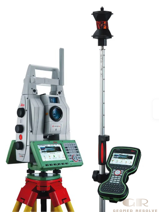
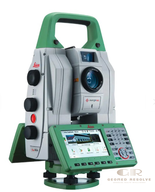
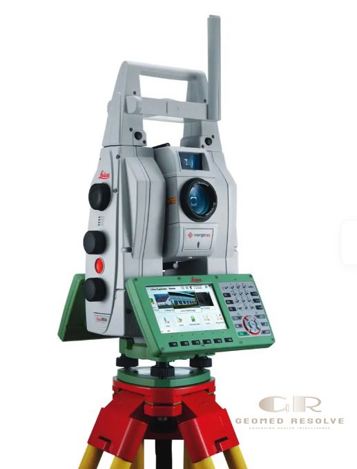
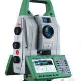
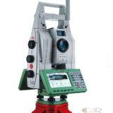
Leica Nova MS60 MultiStation Robotic Total Station 3D Scanner
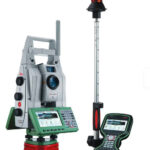
The Leica Nova MS60 MultiStation Robotic Total Station 3D Scanner is an advanced Surveying Equipment solution that combines high-precision robotic total station technology, 3D laser scanning, GNSS connectivity, and digital imaging in a single integrated instrument. It is designed for professional surveying, construction, infrastructure monitoring, BIM, and reality capture applications.
The MS60 provides accurate angle and distance measurements while offering fast 3D point cloud scanning capability, allowing surveyors and engineers to complete complex measurement tasks with one versatile system.
📦 Secure checkout
📦 Secure checkout
✅️SATISFACTION GUARANTEED
✅️FREE SHIPPING ON ORDER OVER $100
✅️SECURE PAYMENTS
✅️MONEY BACK 30 DAYS GUARANTEE
✅️EASY RETURNS

✈️ FAST AND FREE DELIVERY
✈️ FAST AND FREE DELIVERY
🎧 24/7 CUSTOMER SUPPORT
🎧 24/7 CUSTOMER SUPPORT
Description
Leica Nova MS60 MultiStation Robotic Total Station 3D Scanner – Advanced Surveying Equipment with Integrated Laser Scanning
The Leica Nova MS60 MultiStation Robotic Total Station 3D Scanner is a premium Surveying Equipment solution that integrates robotic total station measurements, 3D laser scanning, GNSS positioning, and digital imaging into one powerful platform. Designed for surveyors, engineers, and construction professionals, the MS60 provides accurate measurements and efficient 3D reality capture for demanding projects.
With advanced automation features, Leica Captivate software, ATRplus target recognition, and high-speed point cloud scanning, the Leica Nova MS60 helps professionals collect reliable field data faster while reducing the need for multiple instruments.
The Leica Nova MS60 MultiStation Robotic Total Station 3D Scanner is an excellent choice for surveying, BIM, infrastructure inspection, construction monitoring, mining, and advanced geospatial applications requiring precision, flexibility, and productivity.
Main Benefits
All-in-One Surveying Solution
Combines robotic total station, laser scanner, GNSS connectivity, and imaging technology in one instrument to simplify field workflows.
High-Accuracy Measurements
Provides precise angle, distance, and 3D position measurements for demanding surveying and engineering projects.
Integrated 3D Laser Scanning
Captures detailed point clouds for terrain modeling, construction documentation, and infrastructure analysis.
Faster Field Data Collection
Reduces the need for multiple instruments by combining several surveying technologies into one system.
Professional BIM & Reality Capture Workflow
Supports accurate digital documentation for modern construction and engineering projects.
Key Features
Robotic Total Station Technology
The Leica Nova MS60 provides automated targeting, tracking, and robotic measurement capabilities for efficient surveying operations.
3D Laser Scanning Function
The integrated scanner captures dense 3D point clouds with scan speeds up to 30,000 points per second.
GNSS Connectivity
Supports GNSS integration for direct georeferencing and improved field flexibility.
Digital Imaging System
Includes overview and telescope cameras for image-assisted measurements and documentation.
ATRplus Automatic Target Recognition
Provides automated prism searching, locking, and tracking for improved productivity.
Leica Captivate Software
Uses intuitive onboard software with surveying applications for field data collection and decision-making.
Dynamic Lock Technology
Helps maintain target tracking even in challenging field environments.
AutoHeight Function
Improves setup efficiency by automating instrument height measurement.
Full-Color Point Cloud Data
Generates 3D point clouds with color information, intensity data, and signal information.
Specifications
Product Type: Robotic MultiStation Total Station with 3D Scanner
Category: Surveying Equipment
Subcategory: Robotic Total Stations & 3D Laser Scanning Systems
Manufacturer: Leica Geosystems
Measurement Technology:
Robotic Total Station
3D Laser Scanning
Digital Imaging
GNSS Connectivity
Angle Accuracy: 1 arc second (0.3 mgon)
Distance Measurement Accuracy:
Prism: approximately 1 mm + 1.5 ppm
Reflectorless: approximately 2 mm + 2 ppm
Scan Speed: Up to 30,000 points per second
Maximum Scan Range:
Up to 60 m at highest speed mode
Up to 1,000 m in slower scanning mode
Scan Data:
3D point clouds
True color information
Intensity data
Camera:
5 MP overview camera
Telescope camera with 30× magnification
Operating System: Windows EC7
Software: Leica Captivate
Protection Rating: IP65
Weight: Approximately 7.7 kg including battery
Applications
Land Surveying
Ideal for topographic surveys, boundary measurements, and terrain mapping.
Construction Surveying
Used for site measurements, structural verification, and construction progress monitoring.
BIM Documentation
Creates accurate 3D data for Building Information Modeling workflows.
Infrastructure Inspection
Supports road, bridge, tunnel, and utility monitoring projects.
Mining Surveying
Used for volume calculations, stockpile measurement, and terrain analysis.
Industrial Measurement
Suitable for large-scale dimensional inspection and facility documentation.
Deformation Monitoring
Supports monitoring of structures, slopes, and engineering assets.
What is the Leica Nova MS60 MultiStation used for?
The Leica Nova MS60 is used for professional surveying, 3D laser scanning, construction documentation, BIM, and infrastructure measurement projects.
Is the Leica Nova MS60 a total station or a laser scanner?
It is both. The MS60 combines robotic total station functionality with integrated 3D laser scanning technology.
How fast can Leica Nova MS60 scan?
The MS60 can scan up to 30,000 points per second for efficient 3D data capture.
Can the MS60 create 3D point clouds?
Yes. It produces detailed 3D point clouds with color and intensity information for mapping and modeling applications.
Is Leica Nova MS60 suitable for BIM projects?
Yes. It is widely used for BIM documentation, as-built surveys, and construction reality capture workflows.
Does Leica Nova MS60 support GNSS?
Yes. GNSS connectivity is integrated into the workflow for improved positioning and georeferencing.


There are no reviews yet.