No products in the cart.: $0.00

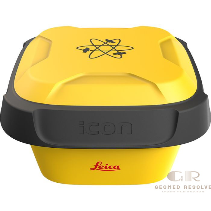
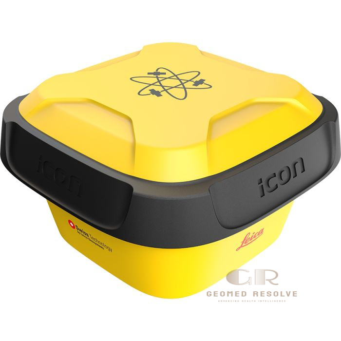
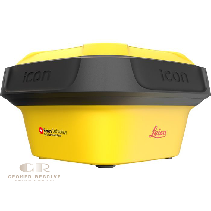
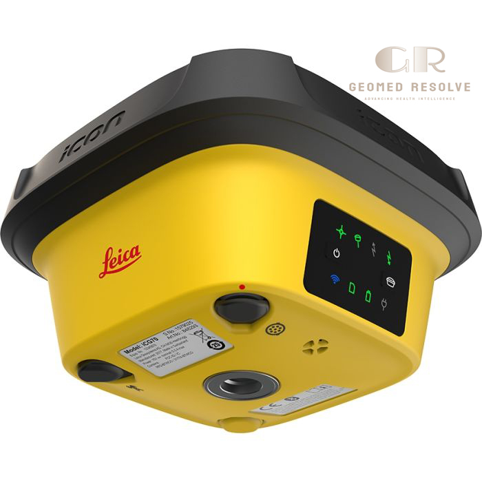
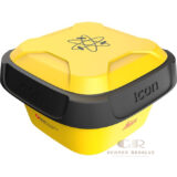
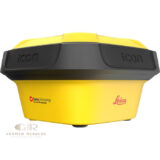
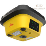
Leica iCG70T iCON GPS 70 Series
The Leica iCG70T iCON GPS 70 Series is a professional Surveying Equipment solution designed for high-precision GNSS positioning, construction layout, stakeout, and as-built surveying. Equipped with advanced GNSS RTK technology, permanent IMU-based tilt compensation, and 555-channel multi-constellation satellite tracking, the iCG70T enables accurate measurements without keeping the survey pole perfectly vertical. Its calibration-free tilt compensation, rugged IP66/IP68 construction, and seamless integration with Leica iCON field software make it ideal for construction, civil engineering, infrastructure, and site surveying professionals.
Description
Leica iCG70T iCON GPS 70 Series – GNSS Smart Antenna for Construction Surveying
The Leica iCG70T iCON GPS 70 Series is a premium Surveying Equipment solution engineered for construction professionals who require fast, accurate, and dependable GNSS positioning. Featuring 555-channel multi-constellation GNSS technology, permanent IMU-based tilt compensation, and calibration-free operation, the system allows surveyors to capture accurate measurements even when the survey pole is tilted, significantly improving field productivity.
Built with a rugged IP66/IP68-rated aluminum housing, fast RTK initialization, and advanced Leica SMARTCHECK+ and SMARTTRACK+ technologies, the iCG70T delivers exceptional reliability in demanding construction environments. Its seamless integration with Leica iCON software and digital construction workflows enables efficient stakeout, topographic surveying, as-built documentation, and infrastructure projects while minimizing operator errors.
The Leica iCG70T iCON GPS 70 Series is an excellent solution for construction contractors, civil engineers, land surveyors, infrastructure developers, and utility professionals seeking a robust, high-precision GNSS RTK rover for modern construction and surveying applications.
Main Benefits
Permanent Tilt Compensation
Integrated IMU allows accurate measurements with a tilted pole, improving productivity and reducing setup time.
Calibration-Free Operation
Ready to work immediately without tilt calibration, saving valuable time on every project.
High-Precision GNSS Positioning
Provides reliable RTK positioning for layout, topographic surveys, and construction applications.
Multi-Constellation Satellite Tracking
Tracks GPS, GLONASS, Galileo, and BeiDou satellites for fast initialization and reliable positioning.
Rugged Field Design
IP66/IP68-rated aluminum housing withstands dust, water, vibration, and harsh construction environments.
Optimized Construction Workflow
Works seamlessly with Leica iCON software to simplify field data collection and construction stakeout.
Key Features
Advanced GNSS Technology
Supports multi-frequency GNSS tracking with 555 channels for high-performance positioning.
Permanent IMU Tilt Compensation
Measures accurately even when the pole is tilted up to approximately 30°, eliminating the need for frequent leveling.
Calibration-Free IMU
No calibration procedures are required before use, improving field efficiency.
Leica SMARTCHECK+ & SMARTTRACK+
Provides rapid RTK initialization, continuous solution verification, and reliable positioning performance.
Multi-Constellation Support
Compatible with:
GPS
GLONASS
Galileo
BeiDou
for improved satellite availability and positioning reliability.
Rugged Aluminum Housing
Designed for demanding construction environments with exceptional durability.
Flexible Connectivity
Supports Bluetooth, USB, RS232, UHF radio, and cellular communication depending on configuration.
Leica iCON Integration
Fully compatible with Leica iCON field software and Leica ConX digital construction workflows.
Specifications
Product Type: GNSS RTK Smart Antenna
Category: Surveying Equipment
Subcategory: GNSS RTK Rover Systems
Manufacturer: Leica Geosystems
Model: iCG70T iCON GPS 70 Series
Positioning Technology
GNSS RTK Rover
Satellite Tracking
GPS
GLONASS
Galileo
BeiDou
Channels
555
Tilt Compensation
Permanent IMU-Based
Calibration-Free
RTK Accuracy
Horizontal: 8 mm + 1 ppm
Vertical: 15 mm + 1 ppm
Initialization Time
Approximately 4 seconds
Communication
Bluetooth
USB
RS232
UHF Radio (configuration dependent)
Battery
Rechargeable Lithium-Ion
Operating Time
Up to 7 hours (configuration dependent)
Protection Rating
IP66 / IP68
Weight
Approximately 1.2 kg
Applications
Construction Layout
Stakeout
Topographic Surveying
As-Built Survey
Site Positioning
Civil Engineering
Recommended Industries
Construction
Civil Engineering
Infrastructure
Land Surveying
Utilities
Heavy Construction
Applications
Construction Layout
Provides precise positioning for construction stakeout and site layout.
Topographic Surveying
Collects accurate field data for mapping and engineering projects.
As-Built Survey
Records completed construction with high GNSS accuracy.
Civil Engineering
Supports road, bridge, railway, and infrastructure construction.
Utility Mapping
Locates and maps underground and above-ground utility assets.
Machine Control Support
Integrates with Leica construction workflows for digital project execution.
Site Positioning
Delivers accurate RTK positioning for everyday construction surveying.
What is the Leica iCG70T iCON GPS 70 Series?
The Leica iCG70T is a professional GNSS RTK smart antenna designed for construction surveying, stakeout, and high-precision positioning.
What makes the iCG70T different?
It features permanent calibration-free IMU tilt compensation, allowing accurate measurements without keeping the survey pole perfectly vertical.
Which satellite systems does it support?
It tracks GPS, GLONASS, Galileo, and BeiDou satellite constellations for reliable positioning.
Is the iCG70T suitable for harsh environments?
Yes. Its rugged aluminum housing is rated IP66/IP68 for dust, water, and demanding construction site conditions.
What applications is it commonly used for?
It is widely used for construction layout, stakeout, topographic surveying, as-built surveys, infrastructure projects, and civil engineering.
Which software is compatible with the iCG70T?
The system integrates seamlessly with Leica iCON build, Leica iCON site, Leica CC80 field controller, and Leica ConX digital construction solutions.