No products in the cart.: $0.00

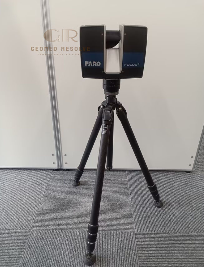
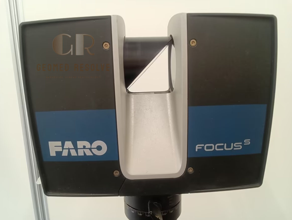
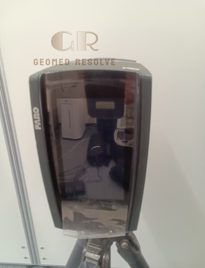
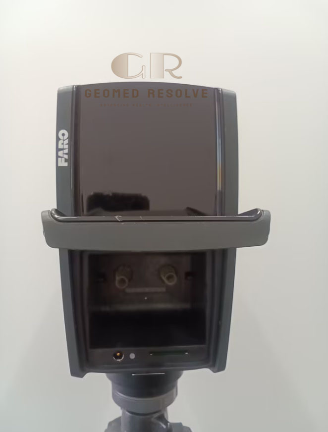
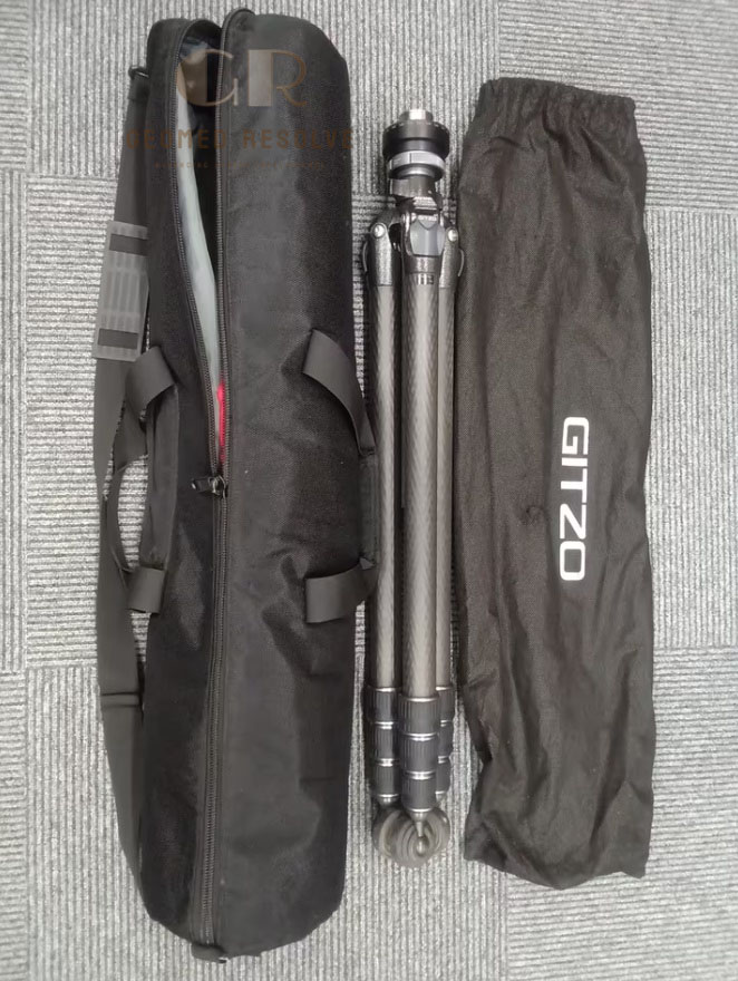
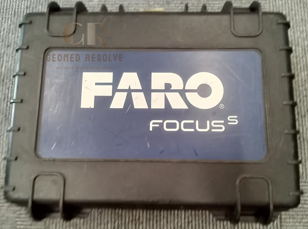
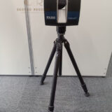
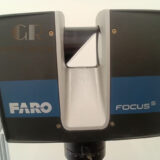
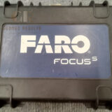
FARO Focus S70 3D Laser Scanner
The FARO Focus S70 3D Laser Scanner is a professional terrestrial laser scanning system for detailed 3D reality capture and point-cloud generation. With up to 70 m range, 360° horizontal and 300° vertical scanning coverage, integrated color imaging, compensation, height sensing, and orientation capabilities, it is suitable for surveying, construction, BIM, engineering, and industrial applications.
📦 Secure checkout
📦 Secure checkout
✅️SATISFACTION GUARANTEED
✅️FREE SHIPPING ON ORDER OVER $100
✅️SECURE PAYMENTS
✅️MONEY BACK 30 DAYS GUARANTEE
✅️EASY RETURNS

✈️ FAST AND FREE DELIVERY
✈️ FAST AND FREE DELIVERY
🎧 24/7 CUSTOMER SUPPORT
🎧 24/7 CUSTOMER SUPPORT
Description
FARO Focus S70 3D Laser Scanner – Professional Terrestrial 3D Scanning System for Surveying, BIM, Construction & Industrial Applications
The FARO Focus S70 3D Laser Scanner is a professional terrestrial laser scanning system designed for detailed 3D reality capture, surveying, construction documentation, BIM, engineering, and industrial applications.
With a measurement range of up to 70 m, 360° horizontal coverage and approximately 300° vertical coverage, the Focus S70 can efficiently capture detailed three-dimensional data from buildings, structures, industrial facilities, construction sites, and other complex environments. FARO’s technical documentation specifically identifies the Focus S70 as part of the Focus S series.
The scanner produces detailed point-cloud data that can be used for measurement, inspection, CAD, BIM, 3D modeling, and as-built documentation.
Main Benefits
Professional terrestrial 3D laser scanning
Up to 70 m measurement range
360° horizontal field of view
Approximately 300° vertical field of view
Detailed point-cloud capture
Integrated color imaging
Dual-axis compensation
Electronic height sensor
Electronic compass
Touchscreen operation
Wi-Fi connectivity
Suitable for indoor and outdoor applications
Portable professional scanning solution
Key Features
FARO Focus S70 3D laser scanner
Class 1 laser
70 m-class scanning range
360° horizontal field of view
300° vertical field of view
Integrated color camera
Dual-axis compensator
Electronic barometric height sensor
Electronic compass
4.8-inch touchscreen display
SD/SDHC/SDXC storage
Wi-Fi connectivity
Professional point-cloud acquisition
Key Specifications
Manufacturer: FARO
Model: Focus S70
Product Type: Terrestrial 3D Laser Scanner
Scanning Technology: Laser-based 3D scanning
Maximum Range: Up to 70 m
Horizontal Field of View: 360°
Vertical Field of View: 300°
Laser Class: Class 1
Laser Wavelength: 1550 nm
Color Imaging: Integrated color camera
Display: 4.8-inch TFT touchscreen
Storage: SD / SDHC / SDXC
Wireless Connectivity: Wi-Fi
Compensator: Dual-axis
Height Sensor: Electronic barometric sensor
Orientation: Electronic compass
The Focus S70 provides:
360° horizontal scanning
300° vertical scanning
0.009° angular step size
Up to 97 Hz vertical scan speed
These characteristics allow efficient capture of large environments and complex structures.
Applications
The FARO Focus S70 3D Laser Scanner is suitable for:
3D surveying
Land surveying
Construction surveying
Building documentation
As-built documentation
BIM data capture
Architecture and engineering
Industrial facility scanning
Factory and plant documentation
Infrastructure inspection
Structural documentation
Construction progress monitoring
Topographic surveying
Point-cloud generation
CAD and 3D modeling
Digital reality capture
Digital twin projects
Industrial inspection
Forensic documentation
What is the FARO Focus S70 used for?
The Focus S70 is used for 3D laser scanning, surveying, construction documentation, BIM, engineering, industrial measurement, inspection, and reality capture.
Is the FARO Focus S70 a 3D scanner?
Yes. It is a professional terrestrial 3D laser scanner designed to capture detailed spatial data and point clouds.
What is the maximum range?
The Focus S70 has a maximum range of 70 m under specified reflectivity conditions. The practical range depends on the surface and environment.
Does it scan 360 degrees?
Yes. It provides a 360° horizontal field of view and 300° vertical field of view.
Can it be used for surveying?
Yes. It is suitable for professional surveying, construction documentation, BIM, infrastructure measurement, and 3D reality capture.
Does it capture color?
Yes. The Focus S70 includes integrated color imaging for adding photographic information to 3D scan data.
Does it produce point clouds?
Yes. The scanner captures three-dimensional spatial information that can be processed into point clouds for CAD, BIM, measurement, visualization, and documentation.