No products in the cart.: $0.00

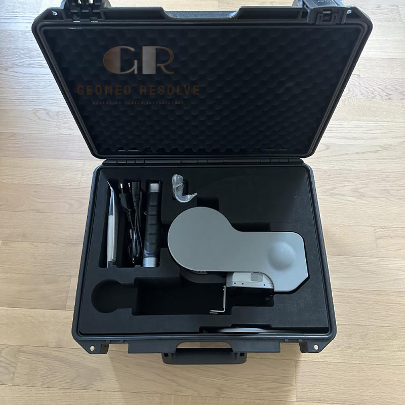
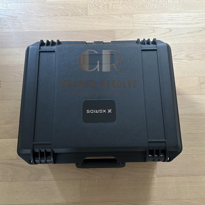
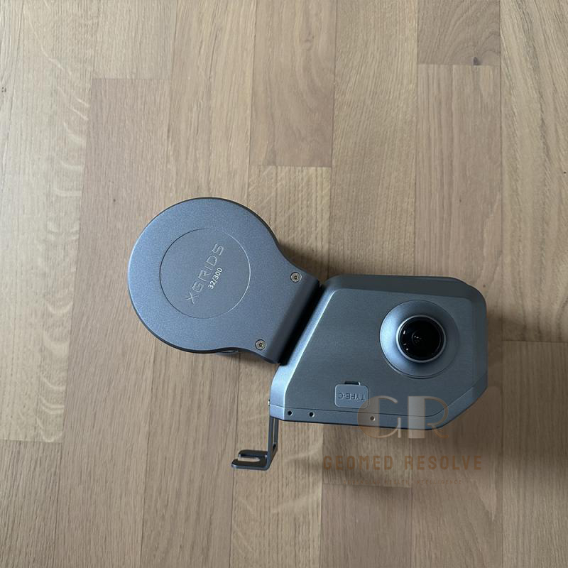
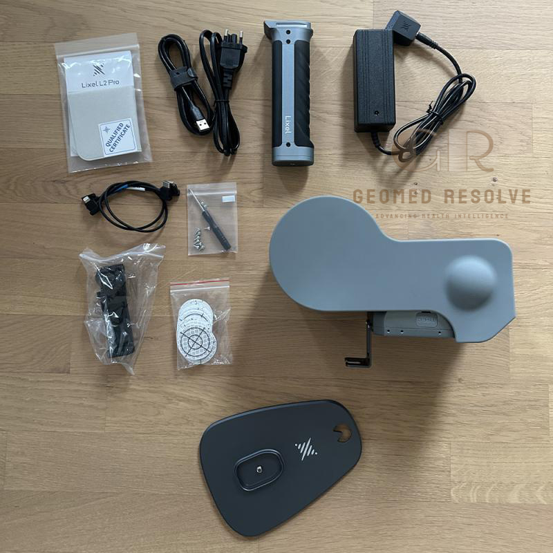
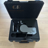
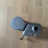
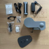
XGRIDS Lixel L2 Pro 32/300 Used
The XGRIDS Lixel L2 Pro 32/300 Used is a professional long-range handheld LiDAR 3D scanner designed for fast and accurate reality capture. Featuring 32-channel LiDAR, up to 300 m scanning range, high-speed point cloud acquisition, and panoramic imaging, it provides an efficient solution for surveying, construction, mapping, BIM, and industrial applications.
Description
XGRIDS Lixel L2 Pro 32/300 Used – Long Range Handheld LiDAR 3D Scanner
The XGRIDS Lixel L2 Pro 32/300 Used is a professional handheld LiDAR 3D scanner designed for large-scale reality capture, surveying, mapping, and industrial documentation. Equipped with a 32-channel LiDAR sensor, long-range measurement capability up to 300 meters, multi-sensor SLAM positioning, and high-resolution panoramic cameras, it delivers efficient 3D data collection for complex environments.
The lightweight mobile scanner supports handheld, vehicle-mounted, and drone-based workflows, making it suitable for construction, infrastructure, surveying, mining, forestry, and digital twin projects. A properly tested used unit provides professional LiDAR scanning capability at a lower investment cost compared with a new system.
Main Benefits
Long-range LiDAR scanning up to 300 m
High-density point cloud capture
Portable handheld scanning workflow
Fast reality capture for large areas
Supports indoor and outdoor mapping
High-resolution color point clouds
Suitable for BIM and digital twin projects
Cost-effective used professional LiDAR solution
Key Features
32-channel LiDAR sensor
Multi-SLAM positioning technology
LiDAR + visual camera + IMU integration
360° panoramic scanning coverage
Dual 48 MP panoramic cameras
Real-time point cloud generation
Supports RTK module integration
Handheld, vehicle, and drone mounting options
Internal high-capacity storage
Professional point cloud processing workflow
Compact and portable design
IP54 environmental protection
Key Specifications
Product Type: Handheld Mobile LiDAR 3D Scanner
Scanning Technology: LiDAR SLAM
LiDAR Channels: 32 channels
Maximum Range: Up to 300 m
Scan Speed: Up to 640,000 points/second
Field of View: 360° × 270°
Laser Class: Class 1
Laser Wavelength: 905 nm
Relative Accuracy: Approximately 1 cm RMSE
Absolute Accuracy: Approximately 3 cm RMSE with RTK/GCP support
Cameras:
2 × 48 MP panoramic cameras
1 × visual positioning camera
Storage: 1 TB internal SSD
Battery Operation: Approximately 1.5 hours continuous scanning
Weight: Approximately 1.7 kg
Protection Rating: IP54
Mounting Options:
Handheld
Vehicle
Drone platform support
Applications
The XGRIDS Lixel L2 Pro 32/300 Used is ideal for:
Land surveying
Construction site documentation
Building Information Modeling (BIM)
Digital twin creation
Infrastructure inspection
Road and bridge mapping
Mining survey projects
Forestry mapping
Industrial facility documentation
Urban mapping
Large-scale reality capture
Drone-based LiDAR scanning
What is the XGRIDS Lixel L2 Pro 32/300 used for?
It is used for LiDAR mapping, surveying, construction documentation, BIM projects, infrastructure inspection, mining, and digital twin creation.
What is the maximum scanning range?
The Lixel L2 Pro 32/300 supports LiDAR scanning up to 300 meters, making it suitable for large outdoor environments and complex structures.
How fast can it capture point cloud data?
The system can capture up to 640,000 points per second for detailed 3D mapping.
Can it be used for surveying projects?
Yes. With RTK integration and high-accuracy SLAM positioning, it can support professional surveying and mapping workflows.
Is a used XGRIDS Lixel L2 Pro 32/300 a good choice?
Yes. A properly inspected and tested used unit can provide advanced LiDAR scanning performance while reducing equipment investment costs.