No products in the cart.: $0.00

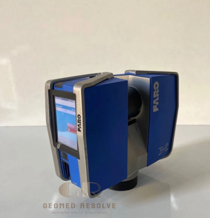
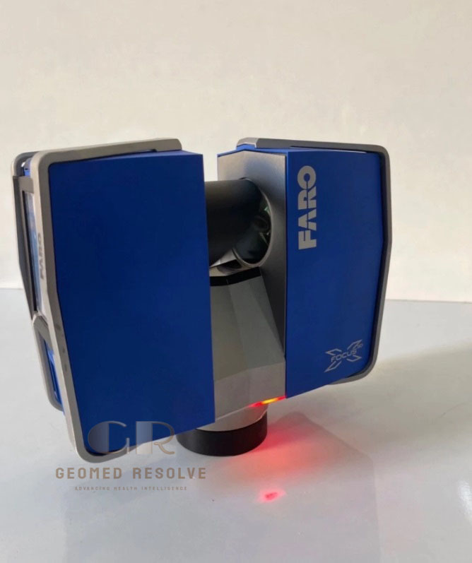
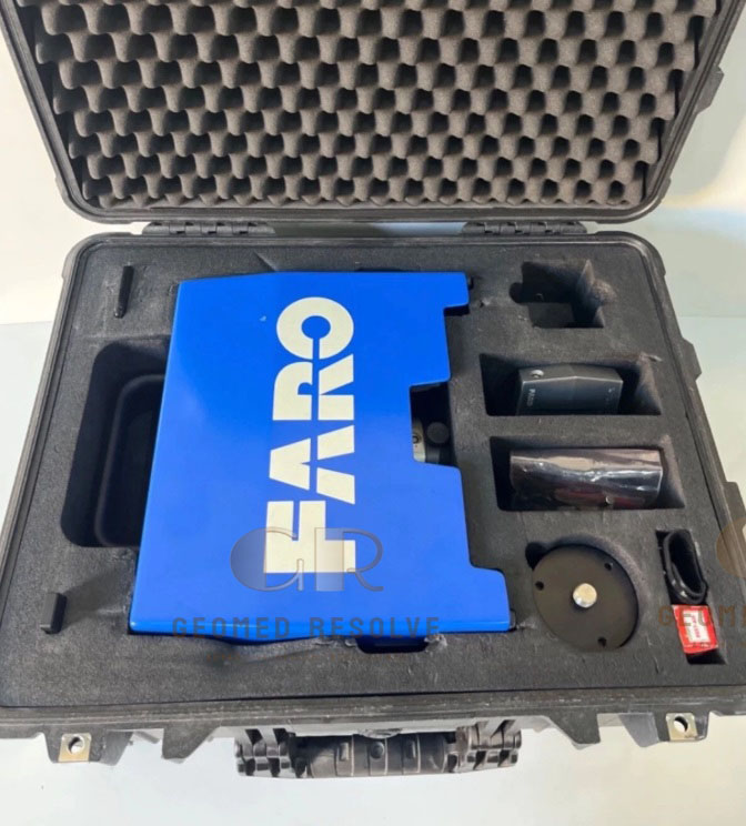
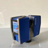
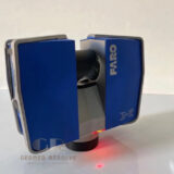
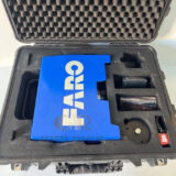
FARO Focus3D X330 Laser 3D Scanner
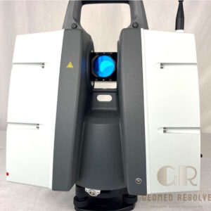
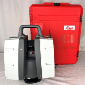
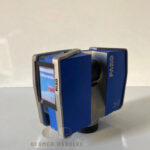
The FARO Focus3D X330 Laser 3D Scanner is a professional long-range terrestrial laser scanner designed for high-density 3D point-cloud capture. With a range of up to 330 m, 360° horizontal scanning, integrated color imaging, and multiple environmental sensors, it is suitable for surveying, BIM, construction, industrial documentation, mapping, and engineering applications.
📦 Secure checkout
📦 Secure checkout
✅️SATISFACTION GUARANTEED
✅️FREE SHIPPING ON ORDER OVER $100
✅️SECURE PAYMENTS
✅️MONEY BACK 30 DAYS GUARANTEE
✅️EASY RETURNS

✈️ FAST AND FREE DELIVERY
✈️ FAST AND FREE DELIVERY
🎧 24/7 CUSTOMER SUPPORT
🎧 24/7 CUSTOMER SUPPORT
Description
FARO Focus3D X330 Laser 3D Scanner – Long-Range Terrestrial Laser Scanner for Surveying, 3D Mapping, BIM & Industrial Measurement
The FARO Focus3D X330 Laser 3D Scanner is a professional long-range terrestrial laser scanner designed for capturing highly detailed 3D point clouds of buildings, structures, industrial facilities, construction sites, terrain, and other large environments.
The X330 belongs to FARO’s Focus3D X 30/130/330 family and was designed for applications requiring longer-range 3D laser scanning. FARO’s documentation specifically provides technical and user-manual resources for the X330 and X330 HDR models.
With a measurement range of up to 330 m under specified conditions, high-speed point acquisition, 360° horizontal scanning, integrated leveling and environmental sensors, and color imaging, the X330 is suitable for professional surveying, documentation, BIM, and 3D mapping workflows.
Main Benefits
Long-range 3D laser scanning
Measurement range up to 330 m
High-density point-cloud capture
360° horizontal field of view
305° vertical field of view
Integrated color imaging
Automatic scan leveling
Electronic compass and height sensor
Wi-Fi remote control
Portable terrestrial scanning
Suitable for indoor and outdoor applications
Key Features
FARO Focus3D X330 laser scanning technology
Long-range measurement capability
122,000–976,000 points per second selectable measurement speeds
360° horizontal scanning
305° vertical scanning
Integrated 70-megapixel color camera system
Automatic exposure/color adjustment
Dual-axis compensator
Electronic compass
Electronic height sensor
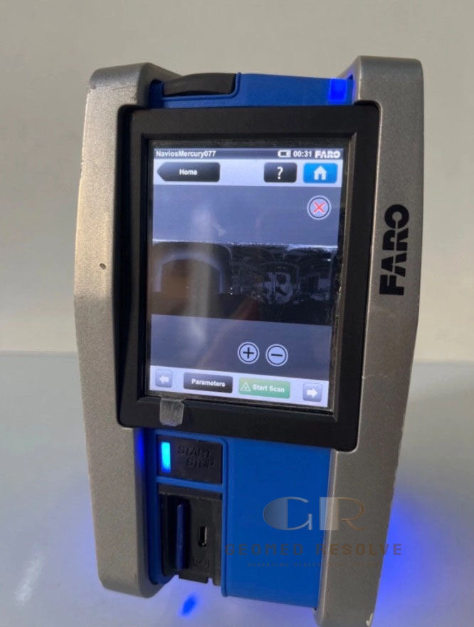
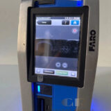
Touchscreen operation
SD/SDHC/SDXC data storage
Wi-Fi connectivity
Compatible with FARO SCENE software workflows
Key Specifications
Brand: FARO
Model: Focus3D X330
Product Type: Terrestrial Laser 3D Scanner
Scanning Technology: Laser / LiDAR
Measurement Range: Up to 330 m under specified conditions
Measurement Speed: 122,000 / 244,000 / 488,000 / 976,000 points/second
Ranging Error: Approximately ±2 mm
Horizontal Field of View: 360°
Vertical Field of View: 305°
Color Resolution: Up to 70 megapixels
Laser Wavelength: 905 nm
Laser Class: Class 3R
Dual-Axis Compensator: Accuracy approximately 0.015°
Compensator Range: ±5°
Storage: SD / SDHC / SDXC
Wireless Connectivity: Wi-Fi
Control: Integrated touchscreen
Integrated Sensors: Compass and electronic height sensor
Applications
The FARO Focus3D X330 is suitable for:
Land surveying
3D mapping
Building documentation
BIM data capture
Construction surveying
As-built documentation
Industrial facility documentation
Plant and factory measurement
Architecture
Engineering
Infrastructure projects
Road and bridge documentation
Mining
Tunnel surveying
Heritage documentation
Forensic documentation
Deformation monitoring
Topographic surveying
Point-cloud generation
3D Mapping & Surveying
The X330 can capture complete spatial information from a scanning position, producing dense point clouds that can be registered together to create a detailed 3D representation of a site or structure.
Its long measurement range makes it particularly useful for large buildings, industrial plants, infrastructure, outdoor environments, and terrain.
BIM & Construction
The scanner can be used to capture existing conditions for BIM and as-built documentation.
The X330 is also suitable for documenting:
Factories
Refineries
Power plants
Processing facilities
Machinery
Pipes and infrastructure
Storage tanks
Industrial structures
Large mechanical installations
The resulting point clouds can support measurement, retrofit planning, engineering, inspection, and digital documentation.
What is the FARO Focus3D X330 used for?
It is used for 3D surveying, laser scanning, BIM, construction documentation, industrial measurement, mapping, and point-cloud generation.
What is the maximum range?
The published X330 specification gives a measurement range of up to 330 m under specified measurement conditions.
How fast can the X330 scan?
The scanner provides selectable measurement speeds of 122,000, 244,000, 488,000, or 976,000 points per second.
What is the field of view?
The Focus3D scanning system provides 360° horizontal and 305° vertical coverage.
Does the X330 capture color?
Yes. FARO documentation lists a color unit capable of up to 70-megapixel color resolution.
Does it have integrated leveling?
Yes. The X330 includes a dual-axis compensator for leveling the scans, with documented accuracy of approximately 0.015° and a ±5° range.
Is the X330 suitable for outdoor surveying?
Yes. Its long-range scanning capability makes it suitable for many outdoor surveying and mapping applications, subject to environmental and surface conditions.
What software does it use?
FARO’s Focus3D X-series scanners are supported by FARO SCENE workflows. The exact compatible software version should be confirmed according to the scanner’s firmware and generation.