No products in the cart.: $0.00

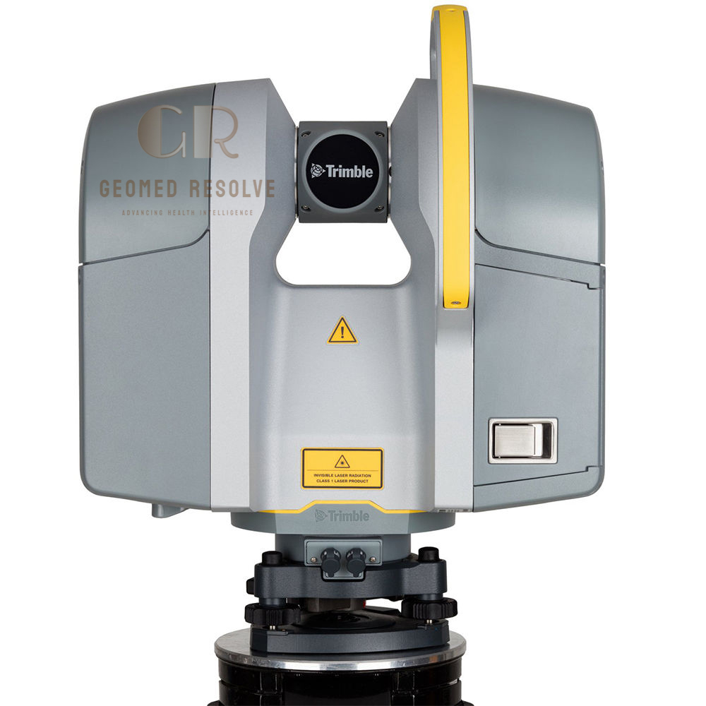
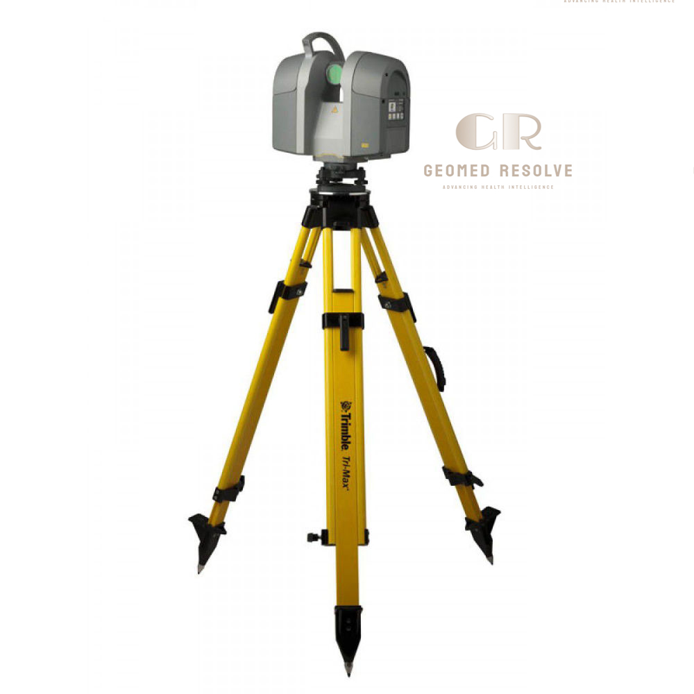
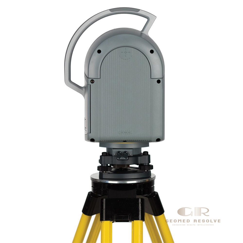
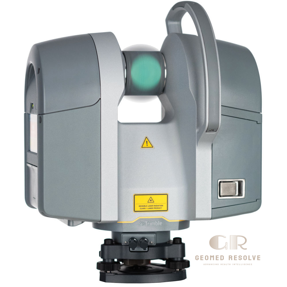
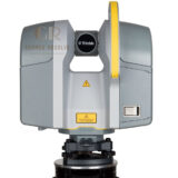
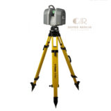
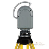
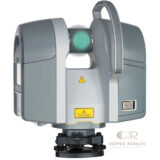
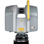
Trimble TX8 Laser Scanner
The Trimble TX8 Laser Scanner is a professional LiDAR & Laser Scanning Equipment solution designed for fast, accurate 3D data capture in surveying, construction, architecture, engineering, and industrial measurement applications. Using advanced time-of-flight laser scanning technology powered by Trimble Lightning™, the TX8 captures dense point clouds with high speed and millimeter-level accuracy.
With a scanning speed of up to 1 million points per second, a wide 360° × 317° field of view, and a measurement range up to 120 m (expandable to 340 m with upgrade), the Trimble TX8 provides efficient reality capture for complex environments and large-scale projects.
📦 Secure checkout
📦 Secure checkout
✅️SATISFACTION GUARANTEED
✅️FREE SHIPPING ON ORDER OVER $100
✅️SECURE PAYMENTS
✅️MONEY BACK 30 DAYS GUARANTEE
✅️EASY RETURNS

✈️ FAST AND FREE DELIVERY
✈️ FAST AND FREE DELIVERY
🎧 24/7 CUSTOMER SUPPORT
🎧 24/7 CUSTOMER SUPPORT
Description
Trimble TX8 Laser Scanner – High-Speed 3D Laser Scanning System for Surveying, BIM & Industrial Measurement
The Trimble TX8 Laser Scanner is a professional LiDAR & Laser Scanning Equipment solution designed for accurate and efficient 3D reality capture. Built with advanced Trimble Lightning™ time-of-flight technology, the TX8 delivers fast scanning performance, high-quality point clouds, and reliable measurement results for demanding professional applications.
With a scanning speed of up to 1 million points per second, a wide field of view, long-range measurement capability, and compatibility with Trimble software, the TX8 helps professionals capture detailed 3D environments for BIM, surveying, construction, industrial inspection, and engineering projects.
The Trimble TX8 Laser Scanner is an ideal solution for surveyors, engineers, architects, contractors, and industrial professionals requiring fast, accurate, and reliable 3D scanning technology.
Main Benefits
High-Speed 3D Data Capture
Captures millions of measurement points quickly, reducing fieldwork time and improving project productivity.
High Accuracy Point Clouds
Provides detailed and reliable 3D data for precise surveying, inspection, and modeling workflows.
Long-Range Laser Scanning
Measures large structures and environments with a range of up to 120 m, with optional extension to 340 m.
Efficient Reality Capture
Creates accurate digital representations for BIM, construction documentation, and engineering analysis.
Professional Field Performance
Designed for demanding environments with rugged construction and simple operation.
Key Features
Trimble Lightning™ Time-of-Flight Technology
Provides fast distance measurement by calculating laser travel time with high precision.
1 Million Points Per Second Scanning Speed
Enables rapid collection of dense point cloud data for large and complex projects.
Wide Scanning Coverage
Features a 360° horizontal and 317° vertical field of view to capture surrounding environments efficiently.
High-Density Point Cloud Generation
Produces detailed 3D models of buildings, structures, equipment, and industrial sites.
HDR Imaging & Colorized Scans
Supports image capture for realistic visualization and improved point cloud interpretation.
Targetless Registration Support
Allows efficient scan alignment workflows with compatible Trimble software solutions.
Integrated Touchscreen Control
Provides simple scanner operation directly in the field.
Class 1 Eye-Safe Laser
Uses a safe invisible laser system compliant with IEC laser safety standards.
Trimble Software Compatibility
Works with Trimble RealWorks and other professional data processing solutions.
Specifications
Product Type: Terrestrial 3D Laser Scanner
Category: LiDAR & Laser Scanning Equipment
Subcategory: Terrestrial 3D Laser Scanners
Manufacturer: Trimble
Scanning Technology:
Time-of-flight laser measurement
Trimble Lightning™ technology
Measurement Range:
Standard range: up to 120 m
Optional upgrade: up to 340 m
Scanning Speed:
Up to 1,000,000 points/second
Accuracy:
Range noise below 2 mm on most surfaces
High Precision mode available
Field of View:
Horizontal: 360°
Vertical: 317°
Laser:
Laser Class: Class 1 eye-safe
Wavelength: 1.5 µm invisible laser
Minimum Measurement Range:
0.6 m
Data Output:
3D point clouds
Colorized scan data
Survey and BIM-ready datasets
Compatible Software:
Trimble RealWorks
Trimble scanning workflow solutions
Applications
Building Survey & BIM Documentation
Creates accurate as-built models for architecture, engineering, and construction projects.
Construction Site Measurement
Supports progress monitoring, quality control, and digital construction workflows.
Industrial Plant Measurement
Captures complex facilities, machinery, and infrastructure for engineering analysis.
Surveying & Mapping
Provides precise 3D measurements for land surveying and topographic documentation.
Forensic Investigation
Captures detailed scenes for accident reconstruction and evidence documentation.
Heritage & Cultural Preservation
Creates digital records of historical buildings and structures.
Facility Management
Supports asset documentation and maintenance planning.
What is the Trimble TX8 Laser Scanner used for?
The Trimble TX8 is used for professional 3D scanning, surveying, BIM documentation, industrial measurement, and reality capture projects.
How fast can the Trimble TX8 scan?
The scanner can capture up to 1 million points per second, enabling fast 3D data collection.
What is the maximum scanning range of Trimble TX8?
The standard range is up to 120 meters, with an optional upgrade extending the range to approximately 340 meters.
Is Trimble TX8 suitable for BIM projects?
Yes. It is widely used for capturing accurate as-built conditions and generating point clouds for BIM workflows.
What type of data does the TX8 create?
It creates high-density 3D point clouds that can be processed into digital models, measurements, and engineering documentation.
Is the Trimble TX8 a LiDAR scanner?
Yes. It is a terrestrial LiDAR-based 3D laser scanner designed for professional measurement applications.